 Shizuoka(静岡)
 Mt. Arakawa (荒川岳)
Mt. Arakawa (荒川岳) is a mountain massif in the Southern Japanese Alps. Its highest peak, Mt. Warusawa (悪沢岳/東岳, 3,141m), i...
Shizuoka(静岡) 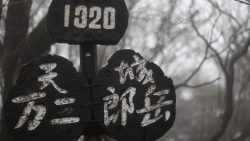 Shizuoka(静岡)
 Amagisan is a collective name for the mountain range running east-west through the center of the Izu Peninsula in Shizuoka Prefecture. The highest peak is Banzaburodake at 1,405m. *Timetable last checked: [sc name=”updated_date”][/sc] Access to the Trailhead Going: Ito Sta. → Amagi Traverse Trailhead Return: Amagi Traverse Trailhead → Ito Sta. Map & Recommended Route 1. Going: Ito Sta. → Amagi Traverse Trailhead From JR Ito Station (Platform 2), take the Tokai Bus “Amagi Tokyu Resort Shuttle Bus” to Amagi Traverse Trailhead.Travel time: Approx. 55 min Bus Timetable: Ito Sta. → Amagi Traverse Trailhead Daily service (extra buses on select dates only) Ito Sta. (Dep.) Amagi Traverse Trailhead (Arr.) Notes […]
 Shizuoka(静岡)
  Yamanashi(山梨)
  Nagano(長野)
  Shizuoka(静岡)
 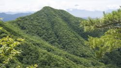 Yamanashi(山梨)
  Gunma(群馬)
  Yamanashi(山梨)
  Yamanashi(山梨)
 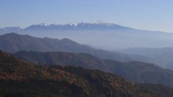 Nagano(長野)
  Nagano(長野)
 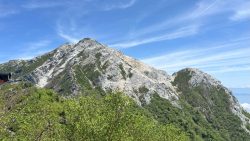 Yamanashi(山梨)
  Yamanashi(山梨)
  Shizuoka(静岡)
  Gifu(岐阜)
  Toyama(富山)
  Nagano(長野)
 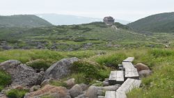 Toyama(富山)
  Toyama(富山)
  Nagano(長野)
  Toyama(富山)
 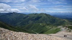 Toyama(富山)
  Toyama(富山)
  Nagano(長野)
  Shizuoka(静岡)
 Ainodake (3,189.5m) is a mountain in the northern part of the Southern Alps (Akaishi Mountains), straddling Shizuoka and Yamanashi Prefectures. It is the fourth highest peak in Japan. This page introduces bus access to Hirogawara, the gateway to the Southern Alps. For access from the same trailhead, see also Kitadake. *Timetable last checked: [sc name=”updated_date”][/sc] Access to the Trailhead Going: Kofu Sta. → Hirogawara Return: Hirogawara → Kofu Sta. 1. Going: Kofu Sta. → Hirogawara From JR Kofu Station South Exit bus stop, take the Yamanashi Kotsu Southern Alps Mountaineering Bus (Hirogawara Line) to Hirogawara.Travel time: Approx. 1 hour 55 minFare: 2,400 yen + 300 yen (user cooperation fee) Season: […]
 Nagano(長野)
 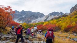 Nagano(長野)
  Toyama(富山)
  Nagano(長野)
 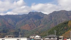 Yamanashi(山梨)
 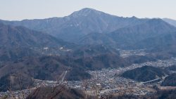 Yamanashi(山梨)
  Gunma(群馬)
  Yamanashi(山梨)