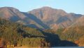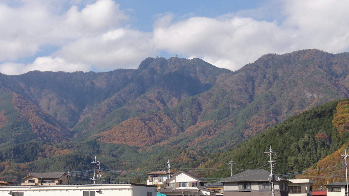
Mt. Mitsutoge (三ツ峠山) is a 1,785m peak located in Yamanashi Prefecture.
It is the collective name for three summits — Kaiun-zan (1,785m), Osutaka-yama (1,775m), and Kinashi-yama (1,732m) — and from the summit you can enjoy a stunning view of Mt. Fuji.
It is counted as one of the 200 Famous Japanese Mountains and is also known as a sacred place for rock climbing.
From Kawaguchiko Station, you can access the Mitsutoge trailhead by bus.
Trail information (as of March 2026)
- Mitsutoge Station route (Daruma-ishi trailhead): The bridge just before Byobu-iwa is on the verge of collapse. A warning has been issued to avoid the bridge and detour along the mountainside (Yama-to-Keikoku Online, 2026-03-26).
- Kawaguchiko Station ~ Mitsutoge Trailhead (Tenkachaya Line) route: No closures, matches current schedule.
*Timetable last checked: May 17, 2026
How to access the trailheads
1. [Going] Kawaguchiko Station → Mitsutoge Trailhead
From Kawaguchiko Station, take the Fujikyu Bus “Tenkachaya Line” and get off at the Mitsutoge Trailhead bus stop.
Travel time: 28 minutes
Fare: ¥840
Bus TimetableKawaguchiko Station → Mitsutoge Trailhead Bus Timetable
| Kawaguchiko Station | Mitsutoge Trailhead |
|---|---|
| 9:40 | 10:05 |
| Kawaguchiko Station | Mitsutoge Trailhead |
|---|---|
| 9:05 | 9:30 |
| 9:40 | 10:05 |
Reference: [Fujikyu Bus Kawaguchiko Station ~ Mitsutoge, Tenkachaya]
2. [Return] Kawaguchi-kyoku-mae → Kawaguchiko Station
From the Kawaguchi-kyoku-mae bus stop, take the Fujikyu Bus “Kofu Line (Red Line)” and get off at Kawaguchiko Station.
Travel time: 10 minutes
Fare: ¥350
Bus TimetableKawaguchi-kyoku-mae → Kawaguchiko Station Bus Timetable
| Kawaguchi-kyoku-mae | Kawaguchiko Station |
|---|---|
| 6:58 | 7:08 |
| 8:18 | 8:28 |
| 8:48 | 8:58 |
| 9:18 | 9:28 |
| 9:58 | 10:08 |
| 10:38 | 10:48 |
| 11:48 | 11:58 |
| 12:48 | 12:58 |
| 14:48 | 14:58 |
| 16:48 | 16:58 |
| 17:48 | 17:58 |
| 18:48 | 18:58 |
| 19:18 | 19:28 |
| 20:18 | 20:28 |
| 21:28 | 21:38 |
Reference: [Fujikyu Bus]
Photo byWikipedia