Mount Mitō (Mitōsan, 1,531 m) straddles the border between Hinohara/Okutama in Tokyo and Yamanashi Prefecture, and is one of Japan’s 300 Famous Mountains.
Together with Mount Ōdake and Mount Gozen it is the highest of the Okutama Three Mountains, and its name comes from its three summits — the West, Central and East peaks. The classic day hike starts from Hinohara Tomin-no-Mori (Citizens’ Forest) at around 1,000 m and climbs through beech woods, with views of Mount Fuji opening up from the West Peak.
For public-transport access, take a Nishi-Tokyo Bus from JR Musashi-Itsukaichi Station to Hinohara Tomin-no-Mori.
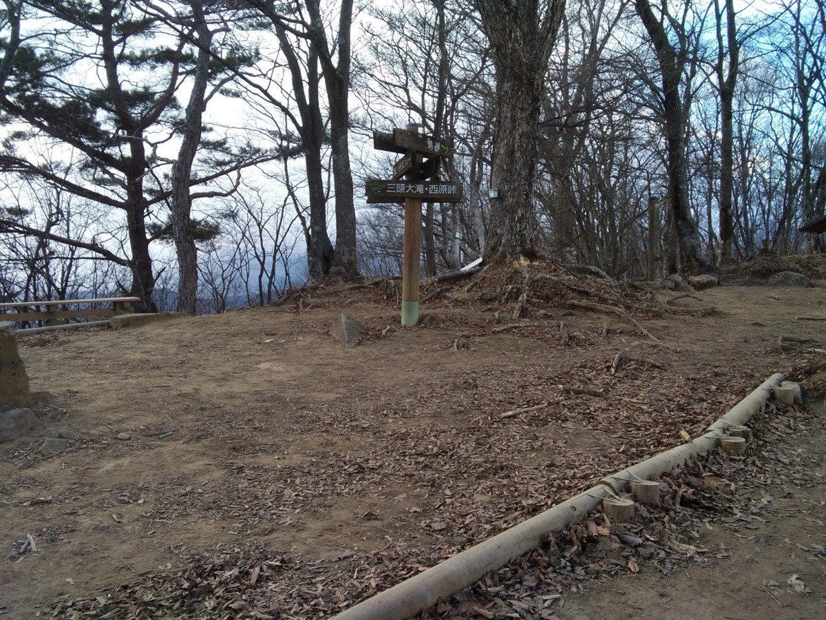
The trailhead is Hinohara Tomin-no-Mori (about 1,000 m), with a free car park, toilets and a Forest Hall and other facilities. The main route is Tomin-no-Mori → Mitō Great Falls → Mount Mitō (West Peak) and back, a beginner-to-intermediate route of about 3–4 hours. It is a well-maintained loop through beech forest, and the West Peak gives a wide view toward Mount Fuji and the Southern Alps.
The best season is late April to November, from fresh greenery to autumn colours; the buses also mainly run from April to November, with no service in winter (December–February). Always check the latest trail and bus operating days before you go.
*Last checked: June 6, 2026
How to access the trailheads
1. [There & Back] Musashi-Itsukaichi Station ⇄ Hinohara Tomin-no-Mori (Nishi-Tokyo Bus)
Musashi-Itsukaichi Station on the JR Itsukaichi Line is your base. From the station, Nishi-Tokyo Bus express and connecting buses run directly to Hinohara Tomin-no-Mori.
① Musashi-Itsukaichi Station → Hinohara Tomin-no-Mori (Nishi-Tokyo Bus)
On Saturdays, Sundays and holidays — the most convenient days for hikers — the main services are Musashi-Itsukaichi Station dep. 8:10 (express) → Tomin-no-Mori arr. 9:18, 9:00 dep. → Tomin-no-Mori 10:15, and 11:35 dep. (express) → Tomin-no-Mori 12:43. The fare is 1,120 yen from Musashi-Itsukaichi Station to Tomin-no-Mori, taking about 1 hour to 1 hour 10 minutes.
② Hinohara Tomin-no-Mori → Musashi-Itsukaichi Station (return)
Buses from Tomin-no-Mori toward Musashi-Itsukaichi Station are Tomin-no-Mori dep. 13:05 → Musashi-Itsukaichi arr. 14:21, 14:35 dep. → 15:45, 15:50 dep. → 17:00, and the last bus 16:45 dep. → 17:53.
Operating season / closed days: the express and connecting buses to Tomin-no-Mori run mainly from April to November; there is no service in winter (December–February), and in March they run on weekends and holidays only. In addition, they do not run on the forest’s closed days (mostly Wednesdays), so be sure to check the operating calendar.
③ Alternative routes (for reference): there is also the Tsuru-tōge route via a Fujikyu bus from Uenohara Station, and the Nukazasu Ridge route (for strong walkers) using buses toward Ogōchi-jinja and Kosuge from Okutama Station. All of these buses run only on certain seasons/days, so check in advance.
④ Taxi: as buses are limited, combining a taxi from Musashi-Itsukaichi Station is a reliable option.
— Itsukaichi Kōtsū (taxi) 042-596-0211
By car: there is a free car park at Hinohara Tomin-no-Mori (closed on the forest’s closed days).
References: [Hinohara Tomin-no-Mori bus timetable] / [Nishi-Tokyo Bus]
Trail Guide and Safety Notes
Route: Tomin-no-Mori → Mitō Great Falls → Buna-no-Michi (Beech Path) → Mount Mitō (West Peak 1,524 m / Central Peak 1,531 m) loop. The standard time is about 3–4 hours, an beginner-to-intermediate route. The West Peak offers views toward Mount Fuji, the Southern Alps and the Daibosatsu range.
Route-finding and slippery sections: the forest paths are well maintained, but the ridge has steep wooden steps and slippery spots. Follow the signs, and watch for mud after rain.
Facilities and seasons: Tomin-no-Mori has a Forest Hall, a shop and toilets for use as a rest base. At this elevation the ridge stays cool even in summer, while winter brings snow and ice. As the buses also stop in winter, bring warm clothing and light crampons and check the service status.
Equipment and emergencies: carry rain gear, warm clothing, a headlamp, a map/GPS and plenty of food. In an accident or emergency call 110 (police) or 119 (fire/ambulance).
・Itsukaichi Police Station 042-595-0110
Photo by Takaosan fukujuso / Wikimedia Commons, CC BY-SA 4.0

Comments