Mt. Ena (恵那山, 2,191 m) straddles Nakatsugawa in Gifu and Achi in Nagano Prefecture, at the southern end of the Central Alps, and is counted among the 100 Famous Mountains of Japan.
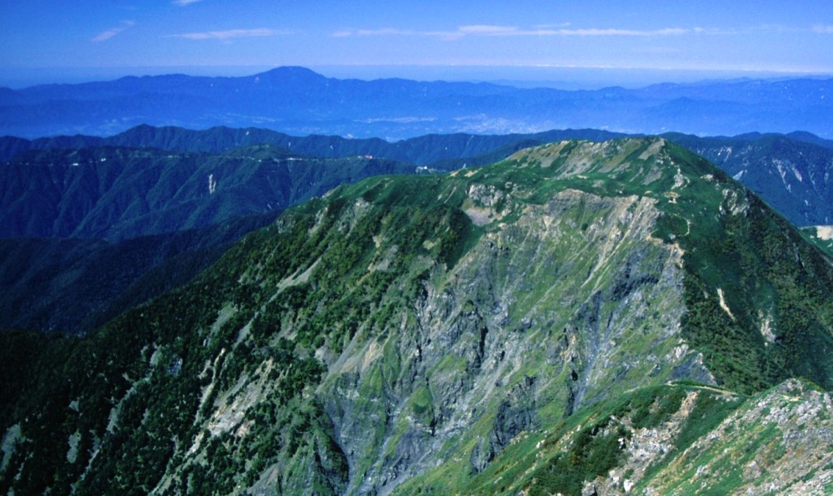
The name is said to derive from the legend that “the placenta (ena) of Amaterasu-Ōmikami was buried here” in the Kojiki; the gently rounded form gave rise to the alternate name “Funafuse-yama” (Upturned-boat Mountain). On the summit ridge are the Mt. Ena Emergency Shelter (unstaffed) and the Mt. Ena Shrine, while the ridge offers sweeping views of the Central Alps, Southern Alps, Mt. Ontake, and Mt. Norikura.
Mt. Ena has four trailheads — Hirogawara (Nagano side, shortest, beginner-friendly), Misaka-tōge Pass (excellent views), Mae-miya (Mt. Ena Weston Park-mae bus stop, reachable by Kita-Ena Kōtsū bus, a long route for experienced hikers), and Kuroizawa (currently closed). By far the most popular is the shortest, beginner-friendly out-and-back from the Hirogawara trailhead to the summit. This page covers how to get to that Hirogawara trailhead (the Misaka-tōge and Mae-miya routes are reached by private car, taxi, or bus).
How to access the trailhead
- [Outbound] Iida Station → Hirogawara trailhead (taxi / private car)
- [Return] Hirogawara trailhead → Iida Station (taxi)
Reference course time (Hirogawara route round trip, ~6 h 30 min, 8.2 km round, ~990 m gain, most popular, beginner)
Hirogawara Parking (1,200 m) → (0:30) → Hirogawara Trailhead → (3:30) → Mt. Ena summit (2,191 m) → (0:15) → Mt. Ena emergency shelter → (0:25) → Mt. Ena summit → (2:00) → Hirogawara Trailhead → (0:30) → Hirogawara Parking
[Outbound] Iida Station → Hirogawara trailhead (taxi / private car)
The most popular Hirogawara route (Nagano side, shortest, beginner) has no public bus service. Access is by private car, or by taxi from Iida Station on the JR Iida Line. This is the standard day-hike route.
Hirogawara Trailhead (peak-pass forest-road gate, Achi Village, Nagano) — access summary:
Travel time: about 1 h taxi from Iida Station (~¥10,000 one way); about 30 min by car from Chūō Expressway Sonohara IC
Parking: Hirogawara parking (free, ~30 spaces, fills up on weekends/holidays)
Note: 30 min on foot from the parking lot to the trailhead along the forest road. Taxis are few, so reservation is recommended.
Reference: Nakatsugawa Tourism Association hiking info | Nakatsugawa City hiking & trekking
Contact: Shinnan Kōtsū (Iida taxi) ☎0265-22-4477
[Return] Hirogawara trailhead → Iida Station (taxi)
After the hike, return via Hirogawara trailhead → Hirogawara parking (30 min on foot) → Iida Station (about 1 h taxi, ~¥10,000). If you came by car, head back via Chūō Expressway Sonohara IC.
Return notes:
No taxis wait at Hirogawara, and there are stretches with no mobile signal, so it is essential to reserve your return pickup when you board the outbound taxi, giving your expected descent time. Onward connections from Iida Station (JR Iida Line and highway buses) are infrequent, so check the times of the last train and last bus in advance and book with some time to spare in case your hike runs late.
Contact: Shinnan Kōtsū (Iida taxi) ☎0265-22-4477
Routes & Emergency Shelter Info
Main route (covered here)
– Hirogawara route (beginner–intermediate, ~8 h round trip): Hirogawara trailhead → Mt. Ena summit (2,191 m). Standard day hike.
– The Misaka-tōge route (ridge views, intermediate) and the Mae-miya route (Kita-Ena Kōtsū bus, advanced, 2-day overnight) also exist.
Emergency Shelter
– Mt. Ena Emergency Shelter (just below the summit): unstaffed year-round, emergency use only, capacity ~20
Regulations & Notes
– Hiking season: May – November
– Winter: forest road closed, residual snow, advanced hikers only
– The summit is forested, with no views
Emergency Contacts
– Achi Village Tourism Assoc.: 0265-43-3001
– Iida Police (mountain rescue): 0265-22-0110
Reference: Achi Village Hirugami Onsen Tourism
Photo by Alpsdake


Comments