Mount Kaore (Kaoredake, 1,625 m) sits on the border of Gero City and Takayama City in Gifu, and is one of Japan’s 300 Famous Mountains.
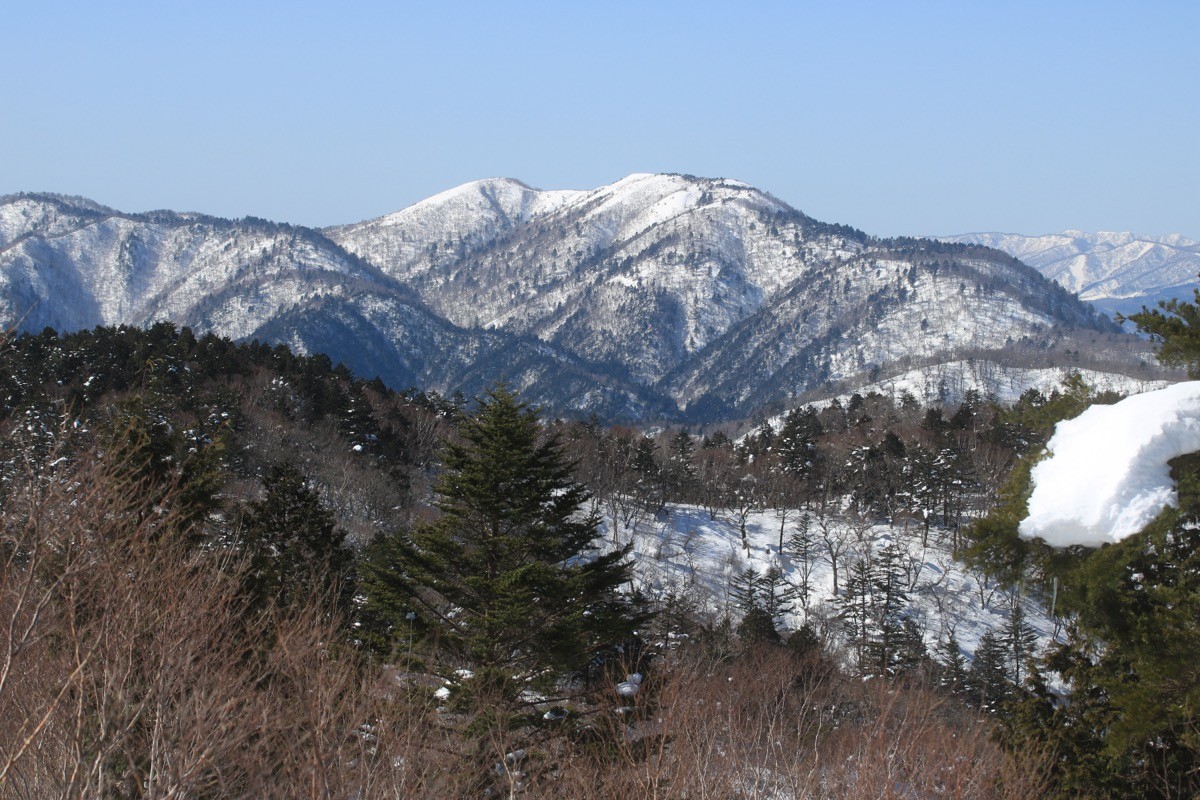
Counted with Mount Kurai and Mount Funa as one of the “Three Mountains of Kurai,” its appeal lies in the 360-degree view from its grassy summit of the Northern Alps, Mount Haku and Mount Ontake. From the Yamanoguchi trailhead to the summit is about 2 hours 30 minutes to 3 hours, an intermediate route.
There is no direct bus to the trailhead, so you reach it by combining a taxi from Hida-Hagiwara Station on the JR Takayama Line.
The main trailhead is Yamanoguchi in Hagiwara, Gero City, with parking and toilets. The main route is the Yamanoguchi trailhead → Mount Kaore (1,625 m) and back, about 2 hours 30 minutes to 3 hours to the summit, an intermediate route. The lower part climbs steeply, becoming a gentle bamboo-grass ridge from around 1,300 m. The Sky Walking Trail (the watershed promenade) also links the summit with Mount Kurai.
The best season is early summer to autumn (June–October), with sasayuri lilies in summer and enkianthus colours in autumn. Always check the latest forest-road and trail conditions and arrange a taxi before you go.
*Last checked: June 7, 2026
How to access the trailheads
1. [There & Back] Hida-Hagiwara Station ⇄ Yamanoguchi trailhead (Takayama Line + taxi)
Hida-Hagiwara Station on the JR Takayama Line is your base. There is no direct bus to Mount Kaore, so take a taxi from the station.
① Hida-Hagiwara Station → Yamanoguchi trailhead (taxi)
From Hida-Hagiwara Station it is about 40 minutes by taxi to the Yamanoguchi trailhead. As it runs on mountain roads, check when you book that the taxi can reach the trailhead.
— Hida Taxi, Hagiwara office 0576-52-4404 / Meitetsu Taxi, Hagiwara office 0576-52-1067.
② Traverse from Mount Kurai: Mount Kurai in Ichinomiya, Takayama, is linked to Mount Kaore by the Sky Walking Trail (the watershed promenade), so you can traverse from the Mount Kurai (Mondeus Hida-Kurai) side (for strong walkers).
③ Note (forest road and season): the forest road to Yamanoguchi may be impassable due to winter closure, lingering snow or rockfall, so check the latest road conditions. In seasons with early sunset, allow plenty of time.
By car: there is parking at the Yamanoguchi trailhead. Access via the Chūbu-Jūkan Expressway and National Route 257 through Yamanoguchi in Hagiwara.
References: [Gero Onsen Tourism Association: Mount Kaore] / [Mount Kaore (Yamakei Online)]
Trail Guide and Safety Notes
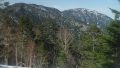
Route: the main route is an out-and-back from the Yamanoguchi trailhead to Mount Kaore (1,625 m), about 2 hours 30 minutes to 3 hours to the summit, an intermediate route. Past the steep lower climb it becomes a bamboo-grass ridge walk, with a 360-degree view opening at the summit. There is also a long traverse of the Three Mountains of Kurai.
Grassland and weather: the summit is open bamboo grass with little tree cover, exposed to strong wind, mist and lightning, so take care in bad weather. The forest road may close due to lingering snow or rockfall. It is Asian black bear country.
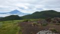
Views and flowers: from the summit there is a panorama of the Northern Alps, Mount Haku, Mount Ontake and Mount Norikura. In summer sasayuri lilies and in autumn enkianthus colours adorn the grassland, with the open ridges typical of the Three Mountains of Kurai.
Equipment and emergencies: carry rain gear, warm clothing, a headlamp, a map/GPS, plenty of food, water and a bear bell. In an accident or emergency call 110 (police) or 119 (fire/ambulance).
・Gero Police Station 0576-25-0110
Photo by Alpsdake / Wikimedia Commons, CC BY-SA 4.0
Comments