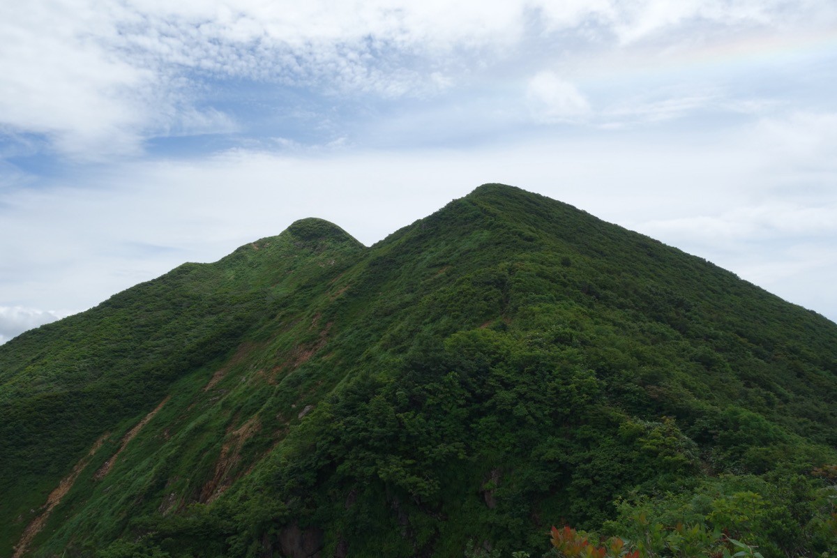
Mt. Iwaigame (祝瓶山, 1,417 m), straddling Nagai and Oguni in Yamagata, is one of the 300 Famous Japanese Mountains.
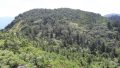
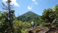
A sharp triangular peak rising at the southern end of the Asahi Mountains, it is known as the “Matterhorn of Tohoku” for its pointed form, with steep ridges and a grand view of Mt. Oasahi and the Iide Mountains from the summit. The usual Suzufuri Ridge route from Hannari-daira climbs about 3 hours 30 minutes with about 1,000 m of gain, an intermediate-to-advanced route of continuous steep climbing. This is bear and hornet country, so a bear bell and full precautions are essential.
The trailhead is Hannari-daira. There is no direct public transport to the trailhead, so the premise is to come by rental car or taxi from Oguni or Nagai Station.
The trailhead is Hannari-daira (on the Oguni side; parking for about 11 cars, a flush portable toilet and a climbing-register post). The usual route is the Suzufuri Ridge from Hannari-daira (a round trip of about 8 km with about 1,000 m of gain, around 7 hours, intermediate to advanced), crossing the Kakunara suspension bridge and climbing a steep ridge. There is also a route from the Nagai side (Kuwasumi-daira / Kakunara bridge), but the forest road has unpaved sections and closures linked to the Kijiyama Dam works, so check the road status with Nagai City’s official information. The forest road to Hannari-daira has unpaved sections but is passable by ordinary car.
Water sources are limited, so carry plenty, and carry a bear bell and bear spray against bears. The season is early June to late October, with the autumn colours especially fine. A traverse route to Mt. Oasahi also runs from the summit, but it is long and needs careful planning.
How to access the trailhead
1. [Round trip] Oguni / Nagai Station → Hannari-daira (Mt. Iwaigame trailhead)
The nearest bases are Oguni Station (JR Yonesaka Line) or Nagai Station (Yamagata Railway Flower Nagai Line). There is no route bus to the Hannari-daira trailhead, so the basic plan is to rent a car at Oguni or Nagai Station, or to come by taxi. Note that the Yonesaka Line has been suspended between Sakamachi and Imaizumi since the August 2022 floods and replaced by a substitute bus, so reach Oguni by transferring to the substitute bus at Sakamachi Station (Uetsu Main Line; check the latest with JR East). To Hannari-daira, enter the forest road from Kodamagawa in Oguni; it has unpaved sections but is passable by ordinary car. On the Nagai side (Kuwasumi-daira), beware of the unpaved forest road and closures linked to the Kijiyama Dam works.
– Oguni Tourism Association 0238-62-2416 / Nagai Tourism Association 0238-88-5279
Source: [Mt. Iwaigame status and guide (Nagai City)]
Route and safety notes
Route: Hannari-daira → Kakunara suspension bridge → Suzufuri Ridge → Mt. Iwaigame. An intermediate-to-advanced round trip of about 8 km with about 1,000 m of gain, around 7 hours, with continuous steep climbing. A traverse route to Mt. Oasahi runs from the summit.
Forest road and access: the forest road to Hannari-daira has unpaved sections but is passable by ordinary car. On the Nagai side (Kuwasumi-daira / Kakunara bridge) there are closures linked to the Kijiyama Dam works, so check the latest status with Nagai City and Oguni Town.
Bears and hornets: this is bear country, and yellow-hornet warnings are also issued. Carry a bear bell and bear spray, and avoid going alone.
Season and gear: the season is early June to late October, with the autumn colours at their best. As the ridge is steep, carry a map and compass (GPS) and plenty of water, and submit a climbing plan.
In an emergency: in a mishap or accident, call 110 (police) or 119 (fire/rescue).
・Oguni Town Office 0238-62-2260 / Nagai City Office 0238-84-2111
Photo by Koda6029 / Wikimedia Commons, CC BY-SA 4.0
Comments