Mt. Ito (以東岳, 1,772 m), on the border of Tsuruoka in Yamagata and Murakami in Niigata, is one of the 200 Famous Japanese Mountains.
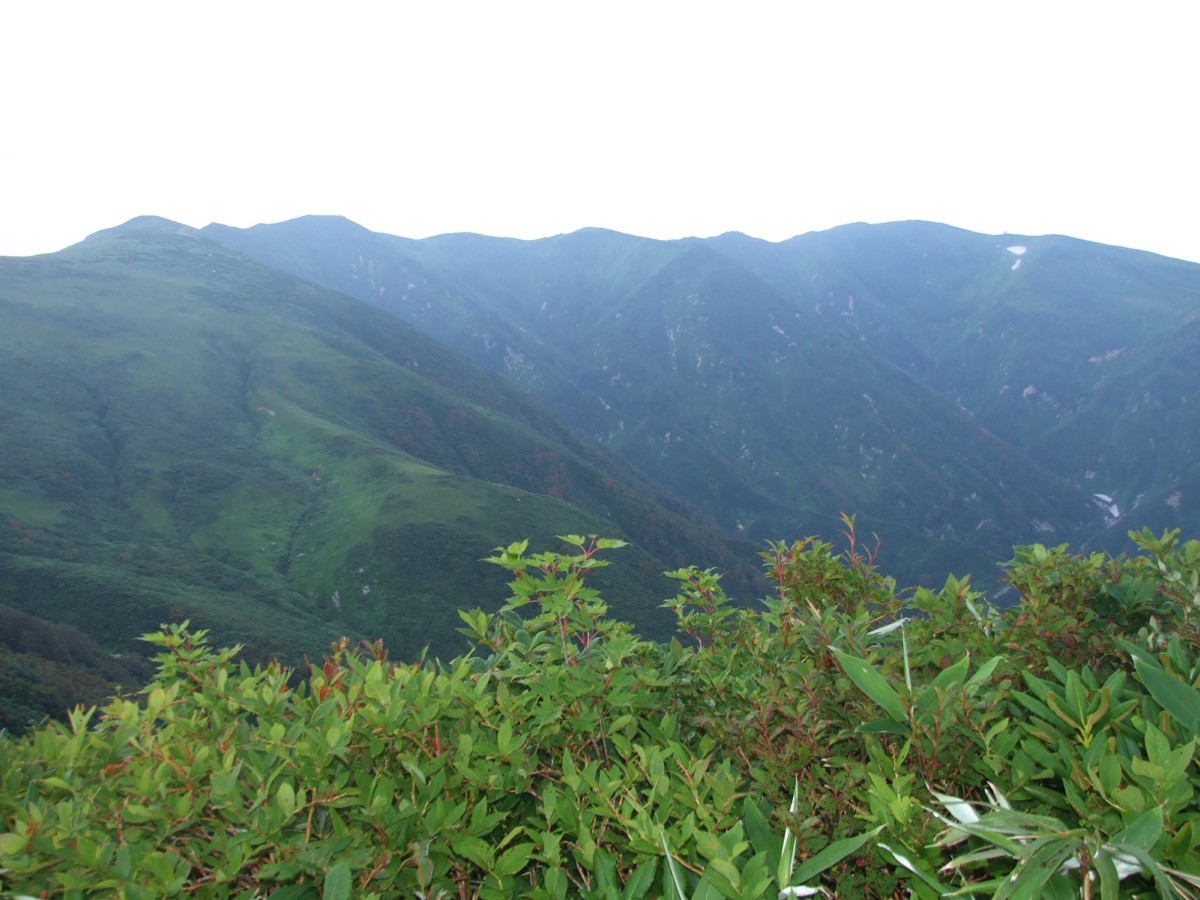
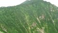
Rising at the northern end of the Asahi range, it is prized for the sweeping view of the Asahi main ridge and the Sea of Japan from the summit, and for the mysterious mountain lake of Otori Pond. The Otori-ike route from Awataki Dam is an advanced round trip of about 14 hours with around 2,050 m of ascent, usually done over two days with a night at the Otori Hut.
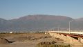
The trailhead is Awataki Dam. Scheduled services to the trailhead are limited, so a rental car or taxi is assumed.
The trailhead is Awataki Dam (with toilet). The route runs Awataki Dam → Hiyamizusawa suspension bridge → Nanatsutakizawa suspension bridge → Nanamagari → Otori Hut (by Otori Pond) → Mt. Ito; the standard round trip is about 14 hours, around 22 km, advanced. From Awataki Dam to Otori Pond is a long approach along the stream, and from the lakeside Otori Hut (Takitaro Lodge) the climb to the summit is steep. Because the route is long, a plan of at least two days with a night at the Otori Hut is needed.
The trail has collapsed and rough sections, it is black-bear country, and there are stretches with no mobile signal. The suspension bridges have their planks removed in early November and cannot be crossed after that. The season is mid-June to mid-October.
How to access the trailheads
1. [Round trip] Tsuruoka Station → Awataki Dam (Mt. Ito trailhead)
The nearest base is Tsuruoka Station (JR Uetsu Main Line). From central Tsuruoka through the Asahi area, it is about 1 hour 30 minutes by car to the trailhead at Awataki Dam (the latter part is a forest road).
The climbing bus to the trailhead does not run in some years, so scheduled services cannot be relied on and a rental car or taxi is assumed for Awataki Dam. The forest road is open only during the climbing season (mid-June to mid-October) and conditions can change due to landslides, so always check road conditions and the latest transport with the Tsuruoka City Asahi Branch before entering. As the route is long, build in an overnight and a hut stay.
– Tsuruoka City Asahi Branch, Industry & Construction Division (roads, climbing info) 0235-53-2111
Source: [Tsuruoka City, Asahi range road & trail info]
Route and safety notes
Route: Awataki Dam → Hiyamizusawa suspension bridge → Nanatsutakizawa suspension bridge → Nanamagari → Otori Hut → Mt. Ito. The standard round trip is about 14 hours, around 22 km, with about 2,050 m of ascent, advanced, with at least two days standard. From the summit you overlook the Asahi main ridge and the Sea of Japan, and the traverse to Mt. Oasahi (3 days) is one of Tohoku’s great long trails.
Otori Pond and huts: the Otori Hut (Takitaro Lodge) by Otori Pond and the Ito Hut just below the summit are both free and unstaffed. Water is available at Otori Pond and near the Ito Hut.
Bears and signal: this is black-bear country, so carry a bear bell and avoid going alone. There are stretches with no mobile signal.
Gear and season: the season is mid-June to mid-October. The suspension bridge planks are removed in early November. Carry rain and warm gear, a map and compass (GPS), and a sleeping bag, and submit a climbing plan.
In an emergency: call 110 (police) or 119 (fire/rescue).
・Tsuruoka City Asahi Branch 0235-53-2111
Photo by Amadeus0220 / Wikimedia Commons, CC BY-SA 3.0
Comments