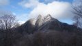
The Takakuma Mountains (Takakumayama) straddle Kanoya City and Tarumizu City in Kagoshima, and their highest peak, Ōnogaradake (1,236 m), is one of Japan’s 300 Famous Mountains.
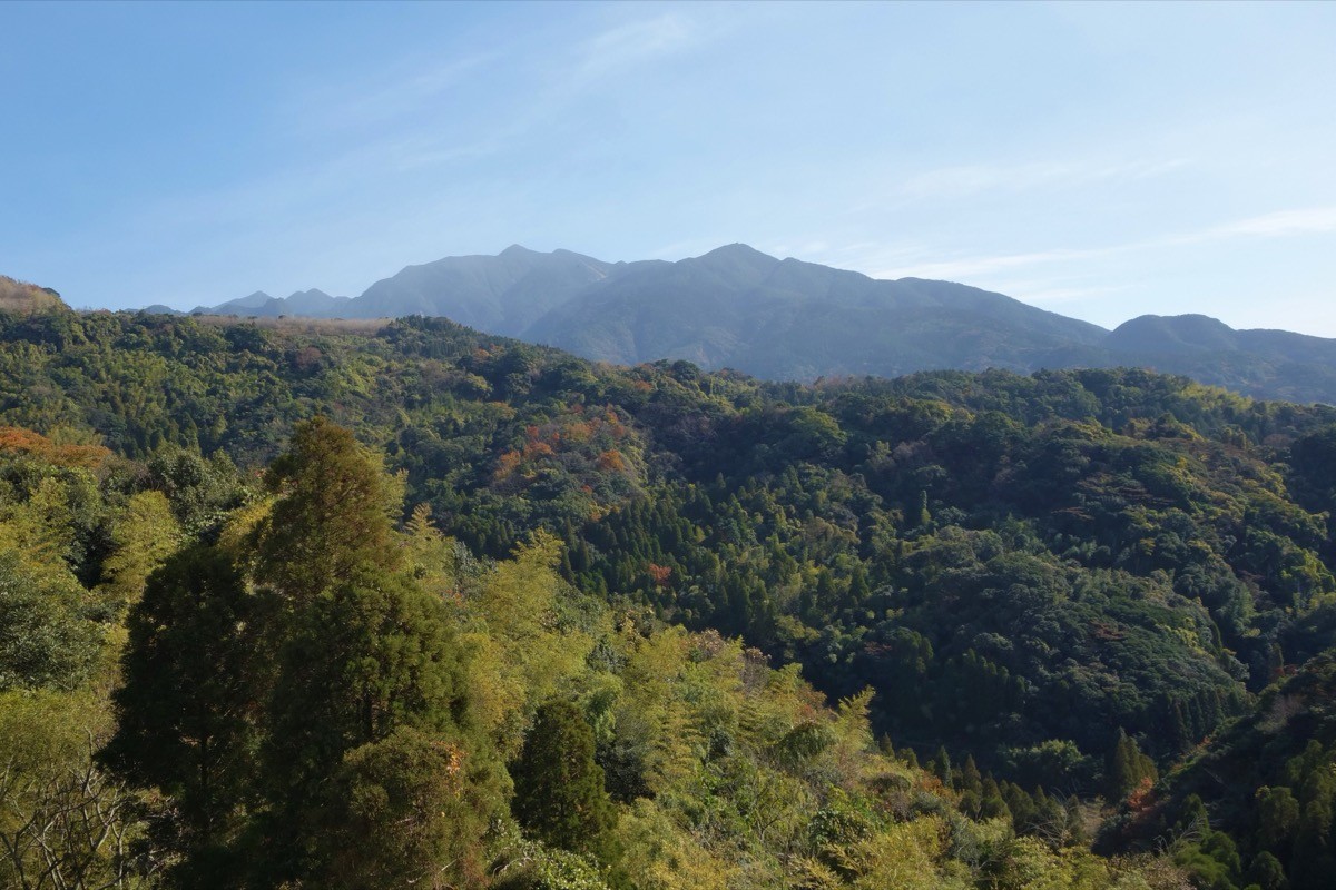
The highest point on the Ōsumi Peninsula, its appeal lies in the panorama of Sakurajima, Kinkō Bay and Mount Kaimon from the summit and the ridge walk linking Ontake and Ōnogaradake. There is the Sakura-one course on Ōnogaradake and a short climb from the fifth station of Ontake, suiting beginners to intermediates.
Public transport to the trailheads is limited, so you cross from Kagoshima to Tarumizu Port and combine a taxi.
To the highest peak, Ōnogaradake (1,236 m), the main route is the Sakura-one course from the Ōno forest road on the Tarumizu side. Near the summit stands the Takakuma Ryūō Daigongen shrine. Ontake (1,182 m) gives a 360-degree panorama in a short climb from its fifth-station trailhead and is easy to reach.
You can climb year-round, but fresh green to autumn (April–November) is easiest, and as the forest roads have many unpaved sections a four-wheel-drive vehicle is reassuring. Always check the latest forest-road and trail conditions and arrange a taxi before you go.
*Last checked: June 7, 2026
How to access the trailheads
1. [There & Back] Tarumizu Port / Kanoya ⇄ the trailheads (ferry + taxi)
It is convenient to cross to the Ōsumi Peninsula by ferry from the Kagoshima City side. There is no direct hiking bus to the Takakuma Mountains, so use a taxi or a car.
① Kagoshima (Kamoike) → Tarumizu Port (ferry)
From Kamoike Port in Kagoshima City, cross to Tarumizu Port by Nankyu Ferry. Tarumizu Port is your base on the Ōsumi side.
② Tarumizu Port / Kanoya → trailheads (taxi)
From Tarumizu Port it is about 17 km to the Ōnogaradake trailhead by taxi. As the forest roads have many unpaved sections, always book the return taxi in advance. A taxi is also handy for the fifth-station trailhead of Ontake.
— Nankai Taxi (Tarumizu) 0994-32-0051 / Tarumizu Taxi 0994-36-0133.
③ Note (forest roads and transport): the Takakuma Mountains have very few local buses, and they do not reach the trailheads, so a taxi or car is the basic option. A four-wheel-drive vehicle is reassuring on the unpaved forest roads.
By car: there is parking space at each trailhead. Access via the Ōno forest road or the Takakuma Gorge from Tarumizu Port or central Kanoya.
References: [Takakuma / Ōnogaradake (Yamakei Online)] / [Takakuma hiking map (YAMAP)]
Trail Guide and Safety Notes
Route: for Ōnogaradake (1,236 m) the main route is the Sakura-one course from the Ōno forest road on the Tarumizu side, with the Jūhachi and Suman courses from the Takakuma Gorge on the Kanoya side. Ontake (1,182 m) is a beginner-to-intermediate route climbed in a short time from its fifth-station trailhead.
Forest road and weather: the forest roads to the trailheads have many unpaved sections, so beware of mud and rockfall after rain. The ridge is windy and can be socked in by mist. Watch out for pit vipers (mamushi) as well.
Views and nature: from the summits of Ōnogaradake and Ontake there are panoramas of Sakurajima, Kinkō Bay, Mount Kaimon and the Ōsumi mountains. Stands of dwarf bamboo and Japanese andromeda spread across these landscapes typical of the Ōsumi Peninsula.
Equipment and emergencies: carry rain gear, warm clothing, a headlamp, a map/GPS, plenty of food and water. In an accident or emergency call 110 (police) or 119 (fire/ambulance).
・Tarumizu Police Station 0994-32-0110
Photo by Koda6029 / Wikimedia Commons, CC BY-SA 4.0
Comments