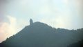
Mount Katamuki (Katamukiyama, 1,605 m) sits on the border of Bungo-Ōno City in Oita and Hinokage Town in Miyazaki, and is one of Japan’s 300 Famous Mountains.
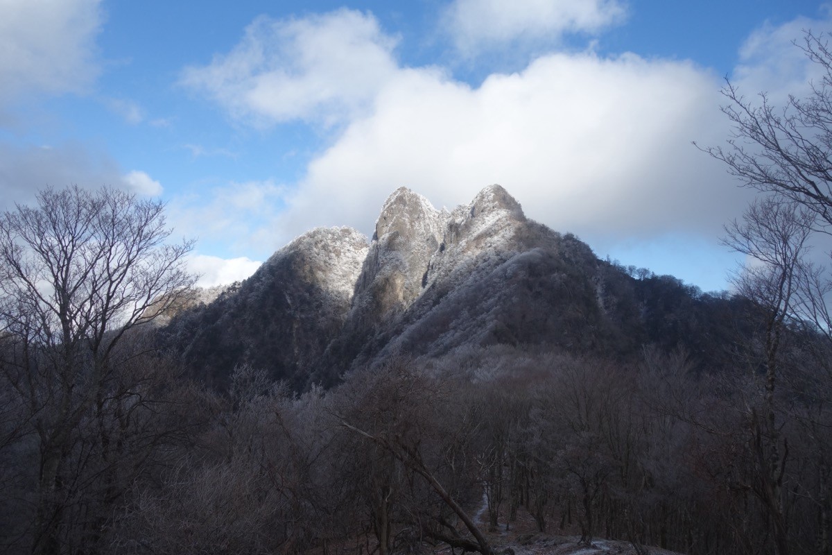
A sharp peak of the Sobo-Katamuki range, its appeal lies in the summit of three rocky peaks — Ushiro-Katamuki, Hon-Katamuki and Mae-Katamuki — and the thrill of the Bōzu ridge with its chain of ladders and chains. The main route is a loop from the Tsuzura trailhead linking the Bōzu ridge and Tsuzura-goe pass, an intermediate-to-advanced course.
There is no direct bus to the trailhead, so you reach it by combining a taxi from Ogata Station on the JR Hōhi Main Line.
The main trailhead is Tsuzura (about 400 m), with about 1,200 m of cumulative climb. The main route is Tsuzura trailhead → Kannon Falls → the Bōzu ridge → Mount Katamuki (1,605 m) → Tsuzura-goe → Tsuzura trailhead as a loop, an intermediate-to-advanced route. The Bōzu ridge has a run of rock outcrops called Mitsu-Bōzu, with ladders, ropes and cliff sections.
The best season is spring to autumn (April–November); take special care when rock is wet in rain or in the late-snow season. Always check the latest trail conditions and arrange a taxi before you go.
*Last checked: June 7, 2026
How to access the trailheads
1. [There & Back] Ogata Station ⇄ Tsuzura trailhead (taxi)
Ogata Station on the JR Hōhi Main Line is your base. There is no direct bus to Mount Katamuki, so take a taxi from the station.
① Ogata Station → Tsuzura trailhead (taxi)
From Ogata Station it is about 50 minutes by taxi to the Tsuzura trailhead. As the road goes into the mountains, check when you book that the taxi can reach the trailhead.
— Hisaka Taxi, Ogata office 0974-42-2145.
② Shared taxi (reservation): in Bungo-Ōno City a reservation-based “shared taxi” (ainori taxi) runs in parts of areas such as Mie and Ogata. It does not go directly to the trailhead but is useful for getting around near the station.
— Bungo-Ōno shared taxi 0974-22-8822.
③ Note (difficulty and season): the Bōzu ridge is an advanced-leaning ridge with many ladders, chains and cliff sections. For a gentler climb, the out-and-back via Tsuzura-goe is safer. In seasons with early sunset, allow plenty of time.
By car: there is parking at the Tsuzura trailhead. Access via National Routes 502 and 326 from the Higashi-Kyushu Expressway or the Chū-Kyushu road.
References: [Oita Osoto Jikan: Mount Katamuki] / [Bungo-Ōno City (shared taxi)]
Trail Guide and Safety Notes
Route: the main route is a loop from the Tsuzura trailhead via Kannon Falls and the Bōzu ridge to Mount Katamuki (1,605 m), descending by Tsuzura-goe, an intermediate-to-advanced route. The Bōzu ridge has fine views but a run of rock, ladders and ropes, so the out-and-back via Tsuzura-goe is a gentler option.
Rock and weather: the Bōzu ridge has many cliff-edge passages, ladders and chained sections, so take the utmost care against falls. Do not push on when it rains or the rock is wet, and consider carrying a helmet. The summit area can be socked in by mist.
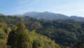
Views and nature: from the three-peaked summit there are wide views of Mount Sobo, Mount Ōkue and the mountains of Kyushu. The area is covered in the natural forest of the central Kyushu mountains, lovely in fresh green and autumn colour.
Equipment and emergencies: carry rain gear, warm clothing, a headlamp, a map/GPS, plenty of food and water. In an accident or emergency call 110 (police) or 119 (fire/ambulance).
・Bungo-Ōno Police Station 0974-22-0110
Photo by Koda6029 / Wikimedia Commons, CC BY-SA 4.0
Comments