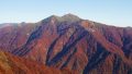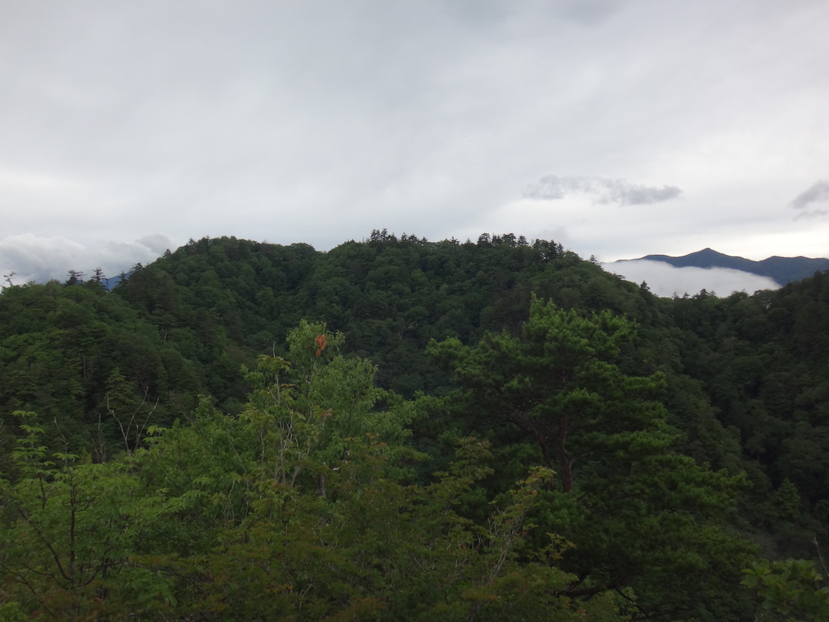
Mt. Suwa (諏訪山) is a 1,549m independent peak rising in Ueno Village, Gunma Prefecture.
Located in the innermost part of West Joshu, it is a mountain of worship standing quietly at the headwaters of the Kanna River. Its sharp form and quiet forest walks are the attraction; selected as one of the 300 Famous Japanese Mountains.
The classic traverse route goes from the “Narahara Trailhead” on the north side, via Mt. Mikasa on the ridge, to the summit. The descent plan exits to the “Hamadaira Trailhead” on the south side, then descends to the “Shioji-no-Yu” hot spring facility.
By public transport, use the Nihon Chuo Bus “Okutano Line”; on the outbound, the Gakuen-Iriguchi bus stop is closest, and on the return the departure from Hamadaira Onsen Shioji-no-Yu is convenient.
Nihon Chuo Bus “Okutano Line” schedule revision effective April 1, 2026
The Nihon Chuo Bus “Okutano Line” (Shinmachi Station ⇔ Gunma-Fujioka Station ⇔ Onishi ⇔ Manba ⇔ Ueno Village direction) had a schedule revision on April 1, 2026. Last-service delays, Saturday → Sunday/holiday schedule integration, and bus stop name changes (“Mikuri Kominkan Mae → Chiiki-zukuri Center Mikuri” / “Onishi Hoikuen Iriguchi → Jinsui Dam Iriguchi”) have occurred. The timetable in this article is pre-revision. Verify the latest accurate times on the Nihon Chuo Bus official PDF.
Planning points:
・Because bus services are extremely few, plan around early services such as Shinmachi Station 6:50 dep (Gakuen-Iriguchi 9:16 arr).
・From Gakuen-Iriguchi to the Narahara Trailhead is a forest-road walk of about 40 – 60 minutes (reference: Gakuen-Iriguchi 9:19 → Narahara Trailhead 9:57 actual example).
・Rocky terrain, steep climbs, and long descents continue — headlamp, emergency food, and cold-weather gear are essential.
・After descent, bathing is available at “Shioji-no-Yu.”
※ Timetable last checked: May 22, 2026
How to access the trailheads
- [Going] JR Takasaki Line Shinmachi Station → Gakuen-Iriguchi bus stop
- [Return] Gakuen-Iriguchi bus stop → JR Takasaki Line Shinmachi Station
- [Return] Hamadaira Onsen Shioji-no-Yu → Shinmachi Station (Okutano Line)
Hiking Course Details — Mt. Suwa (諏訪山)
Click to show current location.
Click for full-screen view.
*If the map does not appear, please click here.*
Map & Recommended Route — Mt. Suwa (諏訪山)
1. [Going] JR Takasaki Line Shinmachi Station → Gakuen-Iriguchi bus stop
From JR Takasaki Line Shinmachi Station, take the Nihon Chuo Bus Okutano Line “bound for Ueno-mura Fureai-kan” and get off at “Gakuen-Iriguchi bus stop”.
Travel time: about 2 hours 30 minutes
Fare: about ¥2,000
Bus TimetableShinmachi Station → Gakuen-Iriguchi bus stop Bus Timetable
| Shinmachi Station Dep. | Gakuen-Iriguchi bus stop Arr. |
|---|---|
| 6:50 | 9:16 |
| 8:30 | 11:09 |
| 10:40 | 13:19 |
| 11:30 | 14:09 |
| 13:50 | 16:29 |
| 15:05 | 17:49 |
| Shinmachi Station Dep. | Gakuen-Iriguchi bus stop Arr. |
|---|---|
| 6:50 | 9:16 |
| 8:30 | 11:09 |
| 10:40 | 13:19 |
| 11:30 | 14:09 |
| 13:50 | 16:29 |
| 15:23 | 17:49 |
Reference: [NAVITIME]
2. [Return] Gakuen-Iriguchi bus stop → JR Takasaki Line Shinmachi Station
From Gakuen-Iriguchi, take the Nihon Chuo Bus Okutano Line to Shinmachi Station.
Fare: Shioji-no-Yu → Shinmachi Station ¥2,080 (Nihon Chuo Bus)
Travel time: about 2 hours 45 minutes
Travel time: about 2 hours 45 minutes
Fare: ¥2,080 (Nihon Chuo Bus Okutano Line)
Bus TimetableGakuen-Iriguchi bus stop → Shinmachi Station Bus Timetable
| Gakuen-Iriguchi bus stop Dep. | Shinmachi Station Arr. |
|---|---|
| 5:54 | 8:37 |
| 7:04 | 9:38 |
| 8:04 | 10:38 |
| 10:54 | 13:40 |
| 12:54 | 15:40 |
| 15:04 | 17:38 |
| 16:04 | 18:33 |
| 17:24 | 19:45 |
Reference: [NAVITIME]
3. [Return (after traverse)] Hamadaira Onsen Shioji-no-Yu → Shinmachi Station
Traversing Mt. Suwa and descending to the Hamadaira Trailhead, board the service departing from “Shioji-no-Yu” to Shinmachi Station.
Fare: Shioji-no-Yu → Shinmachi Station ¥2,080 (Nihon Chuo Bus)
Travel time: about 2 hours 45 minutes
Bus TimetableGakuen-Iriguchi bus stop → Shinmachi Station Bus Timetable
| Shioji-no-Yu | Shinmachi Station |
|---|---|
| 6:50 | 9:38 |
| 14:50 | 17:38 |
| 15:50 | 18:33 |
Reference: [NAVITIME]
Photo by Wikipedia