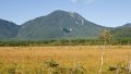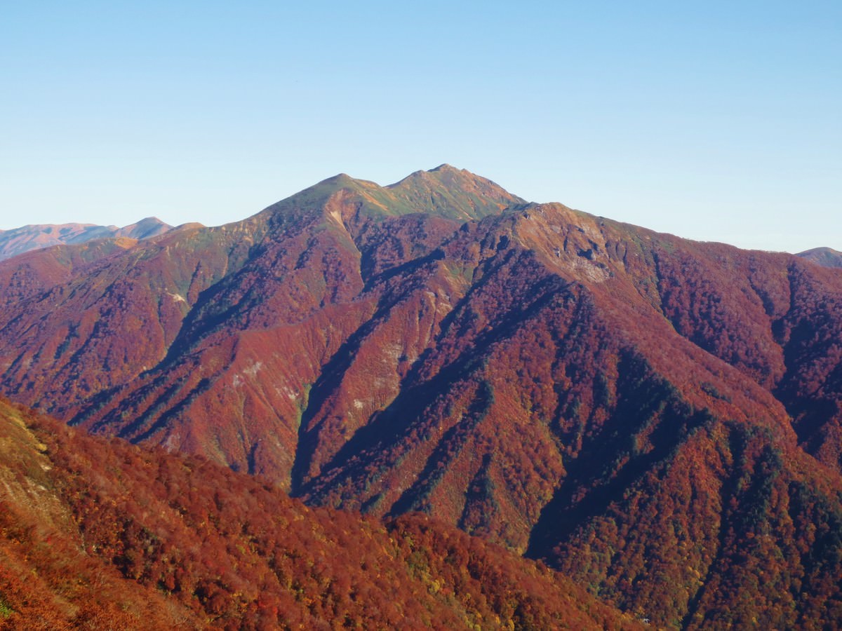
Mt. Asahi (朝日岳) is a 1,945m peak straddling Minakami Town in Gunma Prefecture and Minamiuonuma City in Niigata Prefecture.
Selected as one of the 100 Famous Mountains of Kanto, the 300 Famous Japanese Mountains, and the 100 Famous Mountains of Gunma, it is one of the representative peaks of the Tanigawa Range, with its sharp ridge and wide panorama. Autumn foliage and early-summer flowers are also highlights.
From Doai Station on the JR Joetsu Line on foot, or by bus from Minakami Station / Jomokogen Station, access the Doaibashi bus stop.
Timetable last checked: May 22, 2026
How to access the trailheads
- [Going] Doai Station → Doaibashi bus stop (on foot)
- [Going] Minakami Station → Doaibashi bus stop
- [Going] Jomokogen Station → Doaibashi bus stop
- [Return] Doaibashi bus stop → Doai Station (on foot)
- [Return] Doaibashi bus stop → Minakami Station
- [Return] Doaibashi bus stop → Jomokogen Station
Hiking Course Details — Mt. Asahi (朝日岳)
Click to show current location.
Click for full-screen view.
*If the map does not appear, please click here.*
Map & Recommended Route — Mt. Asahi (朝日岳)
1. [Going] Doai Station → Doaibashi bus stop
From JR Joetsu Line Doai Station to Doaibashi is about 10 minutes on foot.
※ The “downward platform (Nagaoka direction)” of Doai Station requires about a 10-minute climb up an exceptionally long staircase (among Japan’s most famous). From the perspective of conserving energy, taking a bus from Minakami Station or Jomokogen Station to “Doai Station Mae / Doaibashi” is also recommended.
Fare reference: Ueno Station → Doai Station, IC ¥3,880 (JR Joetsu Line local trains)
Travel time: about 3 hours 20 minutes
Reference: JR East “Doai Station” guide / Experience report: Japan’s #1 mole station — Doai Station
2. [Going] Minakami Station → Doaibashi bus stop
From Minakami Station Platform 3, take the Kan-etsu Kotsu “Minakami Line (Tanigawadake Yoch direction)” and get off at Doaibashi. Travel time about 13 – 22 minutes.
[Operating period] April 15 – November 20, 2025 (same schedule on weekdays and Sat/Sun/holidays)
Fare: ¥770
Bus TimetableMinakami Station → Tanigawadake Yoch (formerly Tanigawadake Ropeway) Bus Timetable
| Minakami Station Dep. | Doaibashi Arr. |
|---|---|
| 08:25 | 08:39 |
| 09:00 | 09:14 |
| 09:55 | 10:09 |
| 10:45 | 10:59 |
| 11:35 | 11:49 |
| 11:52 | 12:06 |
| 12:55 | 13:09 |
| 13:20 | 13:34 |
| 14:22 | 14:36 |
| 14:45 | 14:59 |
| 15:15 | 15:29 |
| 15:47 | 16:01 |
| 16:37 | 16:51 |
Reference: [Kan-etsu Kotsu Co., Ltd.]
3. [Going] Jomokogen Station → Doaibashi bus stop
From Jomokogen Station bus stop Platform 1, take the Kan-etsu Kotsu “bound for Minakami Station / Tanigawadake Yoch (formerly Tanigawadake Ropeway)”.
Travel time: 45 minutes
Fare: ¥1,200
Bus TimetableJomokogen Station → Tanigawadake Yoch (formerly Tanigawadake Ropeway) Bus Timetable
| Jomokogen Dep. | Minakami Arr. | Minakami Dep. | Doaibashi Arr. |
|---|---|---|---|
| 08:00 | 08:23 | 08:25 | 08:39 |
| 08:35 | 08:58 | 09:00 | 09:09 |
| 09:30 | 09:53 | 09:55 | 10:06 |
| 10:20 | 10:45 | 10:45 | 10:54 |
| 11:27 | 11:52 | 11:52 | 12:07 |
| 12:30 | 12:55 | 12:55 | 13:04 |
| 12:55 | 13:20 | 13:20 | 13:29 |
| 13:57 | 14:22 | 14:22 | 14:30 |
| 14:50 | 15:05 | 15:15 | 15:24 |
| 16:12 | 16:37 | 16:37 | 16:51 |
| 17:18 | 17:43 | 17:43 | 17:52 |
4. [Return] Doaibashi bus stop → Doai Station
About 10 minutes on foot from the Doaibashi bus stop.
Unlike the long descending platform, the upward train platform (Doaibashi → Minakami direction) is at ground level.
Fare reference: Doai Station → Ueno Station, IC ¥3,880 (JR Joetsu Line local trains)
Travel time: about 3 hours 20 minutes
5. [Return] Doaibashi bus stop → Minakami Station
Travel time: 21 minutes
Fare: ¥770
Bus TimetableDoaibashi bus stop → Minakami Station Bus Timetable
| Doaibashi Dep. | Minakami Station Arr. (reference) |
|---|---|
| 08:13 | — |
| 08:30 | — |
| 08:59 | — |
| 10:38 | — |
| 11:32 | — |
| 11:51 | — |
| 12:25 | — |
| 12:50 | — |
| 13:21 | — |
| 13:59 | — |
| 14:22 | — |
| 14:49 | — |
| 15:18 | — |
| 16:11 | — |
| 17:07 | — |
Reference: [Kan-etsu Kotsu Co., Ltd.]
6. [Return] Doaibashi bus stop → Jomokogen Station
Travel time: 50 minutes
Fare: ¥1,200
Bus TimetableDoaibashi bus stop → Jomokogen Station Bus Timetable
| Doaibashi Dep. | Jomokogen Station Arr. |
|---|---|
| 09:02 | 09:50 |
| 09:32 | 10:40 |
| 10:27 | 11:15 |
| 11:22 | 12:03 |
| 12:02 | 12:50 |
| 12:22 | 13:21 |
| 13:22 | 14:10 |
| 13:54 | 14:55 |
| 14:52 | 16:00 |
| 15:14 | 16:43 |
| 15:47 | 17:05 |
| 16:14 | 17:52 |
Reference: [Kan-etsu Kotsu Co., Ltd.]
Photo by