Mt. Niseikaushuppe (ニセイカウシュッペ山, 1,883 m) in Kamikawa, Hokkaido, is one of the 300 Famous Japanese Mountains.
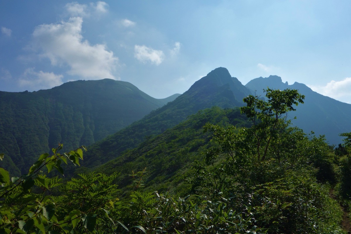
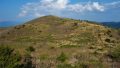
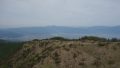
Set on the northwest of the Daisetsuzan range, it is a little-known viewpoint peak prized for its sweeping panorama of the Omote-Daisetsu peaks and for the rugged ridgeline of the sharp rock spire “Oyari” and Angirasu. The round trip from the Furukawa Forest Road trailhead is about 13.4 km and 5 to 6 hours, an intermediate route on a well-maintained trail. This is brown-bear country with frequent sightings of mothers and cubs, so a bear bell and bear precautions are essential.
The trailhead is at the end of the Furukawa Forest Road. There is no public transport to the trailhead, so the premise is to drive the forest road by taxi or rental car from Kamikawa Station.
The trailhead is the Furukawa Forest Road trailhead (a large parking area but no water source; about 1,070 m). Turn onto the Furukawa Forest Road at Nakakoshi on Route 39, pass the gate and drive about 13 km (around 30 minutes) to the end of the road, which is the trailhead. Always check the gate key, the opening period and the forest-road conditions in advance with the Kamikawa Forest Office or the Sounkyo Visitor Center. From the trailhead the trail passes the base of Oyari to the summit of Mt. Niseikaushuppe, and beyond the forest belt there are sections of dense bamboo grass and creeping pine.
As there is no water source, bring water from central Kamikawa, and carry a bear bell and bear spray against brown bears. The season is late June to September, once the lingering snow clears, with fine alpine flowers in July. There are also traverse routes to Oyari, Angirasu and Mt. Hirayama, but all should be planned with ample stamina and time.
How to access the trailhead
1. [Round trip] Kamikawa Station → Furukawa Forest Road trailhead (Mt. Niseikaushuppe trailhead)
The nearest base is Kamikawa Station (JR Sekihoku Main Line). There is no route bus to the Furukawa Forest Road trailhead, so the basic plan is to go by taxi or rental car from Kamikawa Station (about an hour by car from central Asahikawa). Turn onto the Furukawa Forest Road at Nakakoshi on Route 39, pass the gate and drive the unpaved forest road about 13 km (around 30 minutes) to reach the trailhead. The forest road has sections with ruts and crumbling shoulders, so drive slowly, and check the gate key, opening period and any closures in advance with the Kamikawa Forest Office or the Sounkyo Visitor Center. As there is no water source, prepare drinking water in central Kamikawa.
– Kamikawa Forest Office (forest road / gate) 01658-2-2001 / Sounkyo Visitor Center 01658-9-4400
Source: [Furukawa Forest Road trailhead info (Yamakei Online)]
Route and safety notes
Route: Furukawa Forest Road trailhead → base of Oyari → Mt. Niseikaushuppe. An intermediate round trip of about 13.4 km and 5 to 6 hours, with a grand panorama of the Omote-Daisetsu.
Bear precautions: this is brown-bear country with many sightings of mothers and cubs. Carry a bear bell and bear spray, avoid going alone, and be ready to turn back if you see droppings or tracks.
Trail and gear: beyond the forest belt there are sections of dense bamboo grass and creeping pine. As there is no water source, carry plenty of water, and bring a map and compass (GPS).
Season: the season is late June to September, once the lingering snow clears, with alpine flowers at their best in July. In the snow season or bad weather, beware of losing the route and of slips, and submit a climbing plan.
In an emergency: in a mishap or accident, call 110 (police) or 119 (fire/rescue).
・Kamikawa Town Office 01658-2-1211
Photo by Koda6029 / Wikimedia Commons, CC BY-SA 4.0
Comments