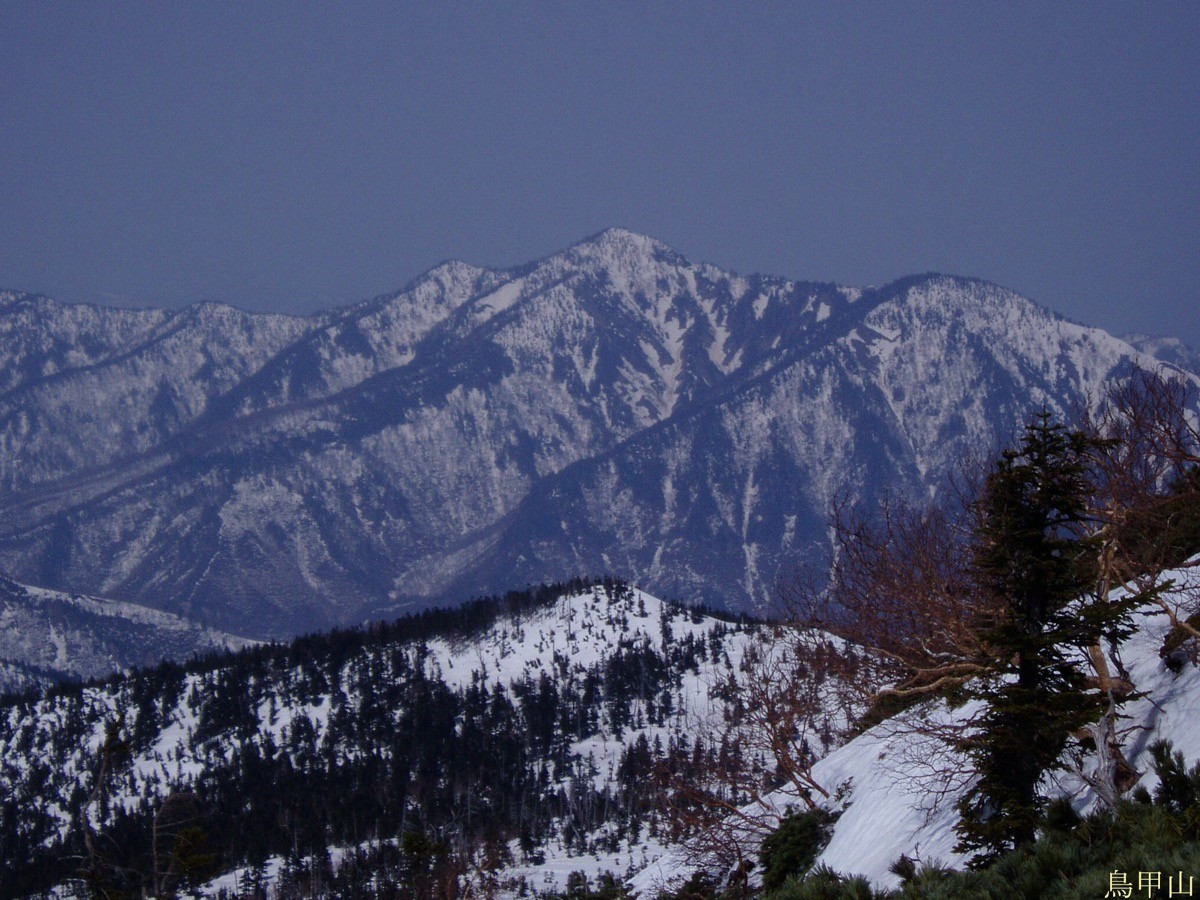
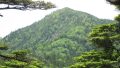
Mt. Torikabuto (鳥甲山, 2,038 m) in the Akiyama-go area of Sakae, Nagano, is one of the 200 Famous Japanese Mountains.
With its knife-edge ridges falling away on both sides and continuous chain sections, it is a rugged peak sometimes called the “second Tanigawa-dake,” known as a fine mountain of the remote Akiyama-go. The loop linking Yashiki and Mujinadaira is an advanced route of about 6 to 8 hours, crossing Razor Rock and knife-edge ridges.
The trailheads are Yashiki and Mujinadaira. The Yashiki bus stop is near the trailhead, so public transport is possible, but services are few and an overnight stay is reassuring.
The trailheads are the Yashiki trailhead (Akakura ridge) and the Mujinadaira trailhead (Shirokura ridge) (both with toilets and parking). The standard course is a loop of Mujinadaira → Mt. Torikabuto → Yashiki of about 6 to 8 hours, advanced. Past Razor Rock you traverse a steep rock face on chains, and beyond that a knife-edge ridge with cliffs on both sides continues. There are many spots where the ground falls away, so extreme care against falls is needed.
The knife-edge ridge is especially dangerous in wind and rain, so choose your weather and pace yourself sensibly. This is black-bear country with stretches that have no mobile signal. The season is mid-June to mid-October.
How to access the trailheads
1. [Round trip] Tsunan Station → Yashiki (Mt. Torikabuto trailhead)
The nearest base is Tsunan Station (JR Iiyama Line). From Tsunan Station, take the Minami-Echigo Kanko Bus Akiyama-go line (running almost daily except over New Year) to the Yashiki bus stop, and from there it is about a 15-minute walk to the Yashiki trailhead (Kiriake–Tsunan is ¥600 one way). As services are few, check the latest times with Tsunan Town.
As the loop is long (about 6 to 8 hours), it is safest to stay overnight in Akiyama-go (such as Yashiki Onsen) and set off early. By rental car it is about 1 hour 30 minutes from the Shiozawa-Ishiuchi interchange to the Yashiki trailhead, and the Yashiki and Mujinadaira trailheads are about 5 km apart by public road.
– Tsunan Town General Affairs Division (Akiyama-go line bus) 025-765-3112 / Sakae Village Office 0269-87-3111
Source: [Sakae Akiyama-go Tourism Association, Mt. Torikabuto]
Route and safety notes
Route: Mujinadaira trailhead → Shirokura-no-kashira → Mt. Torikabuto → Razor Rock → Yashiki trailhead (loop). The standard course is about 6 to 8 hours, advanced. An out-and-back from the Yashiki trailhead to the summit is also possible, but both include knife-edge ridges and chains.
Knife-edge ridge and chains: near Razor Rock you traverse a steep rock face on chains, and beyond that a knife-edge ridge with cliffs on both sides continues. Keep three points of contact and take great care when passing others and against falls.
Bears and signal: this is black-bear country with stretches that have no mobile signal. Carry a bear bell and avoid going alone.
Gear and season: the season is mid-June to mid-October. The knife-edge ridge is especially dangerous in wind and rain, so choose your weather. Carry rain and warm gear, a map and compass (GPS), and submit a climbing plan. Water is limited, so carry plenty.
In an emergency: call 110 (police) or 119 (fire/rescue).
・Sakae Village Office 0269-87-3111
Photo by Oyama no taisho / Wikimedia Commons, Public domain
Comments