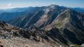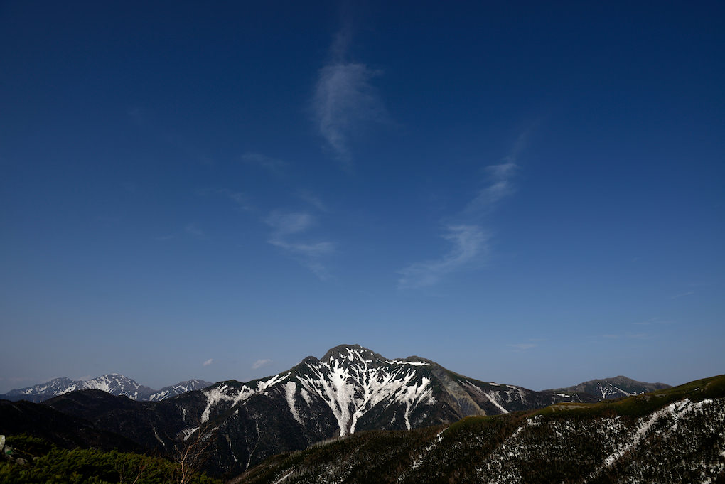
Mt. Shiomi (塩見岳) is a 3,047m peak straddling Nagano and Shizuoka Prefectures.
The most convenient direct climb is from the Torikura Trailhead, over Sanpuku Pass.
A popular route also enters from Hirogawara, traverses via Mt. Kita and Mt. Aino, then continues to Mt. Shiomi and out via Sanpuku Pass.
It is selected as one of the 100 Famous Japanese Mountains, the New 100 Famous Japanese Mountains, and the 100 Famous Mountains of Shinshu.
*Timetable last checked: May 30, 2026
How to access the trailheads
Hiking Course Details — Mt. Shiomi
Click to show current location.
Click for full-screen view.
*If the map does not appear, please click here.*
Map & Recommended Route — Mt. Shiomi
1. [Outbound] Ina-Oshima Station → Torikura Trailhead
From Ina-Oshima Station on the JR Iida Line, take the Ina Bus “Southern Alps Climbing Bus Torikura Line” and get off at the terminus, Torikura Trailhead.
Travel time: 1 hour 50 minutes
Fare: ¥1,680*
Operating period: daily from typically mid-July to late August
Bus TimetableBus Timetable to Torikura Trailhead
| Ina-Oshima Station Dep. | Torikura Trailhead Arr. |
|---|---|
| 6:45 | 8:35 |
| 12:10 | 14:00 |
Reference: [Ina Bus]
2. [Return] Torikura Trailhead → Ina-Oshima Station
From the Torikura Trailhead, take the Ina Bus “Southern Alps Climbing Bus Torikura Line” and get off at Ina-Oshima Station.
Travel time: 1 hour 50 minutes
Fare: ¥1,680
Operating period: daily from typically mid-July to late August
Bus TimetableBus Timetable to Torikura Trailhead
| Torikura Trailhead Dep. | Ina-Oshima Station Arr. |
|---|---|
| 9:10 | 11:00 |
| 14:25 | 16:15 |
Reference: [Ina Bus]
Photo by T hino