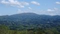
Mount Goyō (Goyōzan, 1,351 m) sits on the border of Ōfunato, Kamaishi and Sumita in Iwate Prefecture, and is one of Japan’s 300 Famous Mountains.
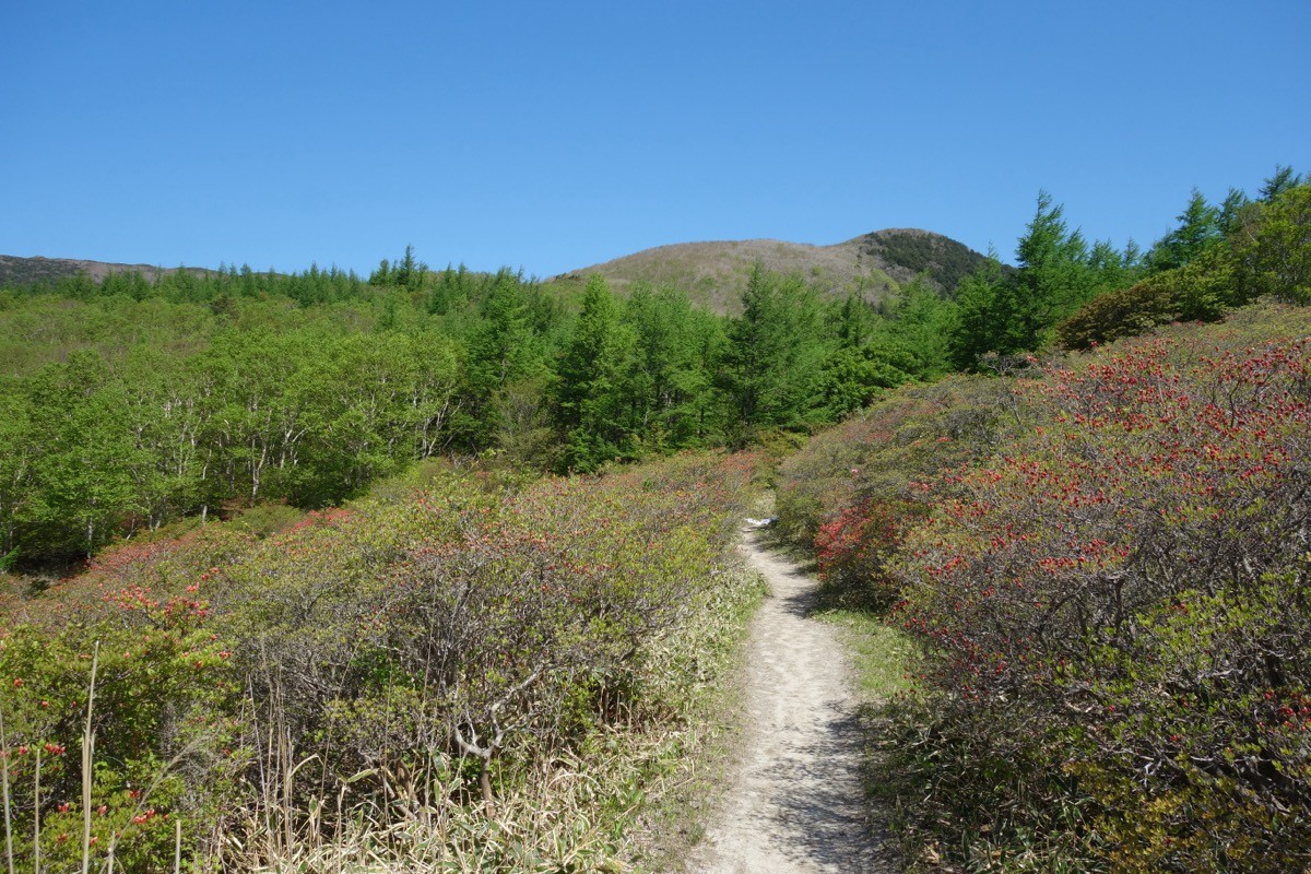
The highest peak along the Sanriku coast, it is also a Flower 100 Mountain, and its appeal lies in the azaleas of May–June, the rhododendrons of July, and the views of the Pacific and Mount Hayachine from the summit. The usual day hike, easy-to-intermediate, goes up to the summit and back from Akasaka Pass.
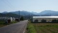
For public-transport access, take a taxi from Sanriku Railway / JR Sakari Station or Kamaishi Station to Akasaka Pass.
The trailhead is Akasaka Pass (about 720 m), with parking and toilets. The main route is Akasaka Pass → Sai-no-Kawara → Tatami-ishi → Shakunage-sō → Mount Goyō (1,351 m) and back, an intermediate route of about 2 hours 30 minutes up and 1 hour 30 minutes down. Passing the Shakunage-sō emergency hut on the way, the summit gives wide views of the Pacific ria coast and Mount Hayachine.
The best season is spring to autumn (May–October); the azalea and rhododendron season (May–July) is the most popular. Always check the latest trail conditions and arrange a taxi before you go.
*Last checked: June 6, 2026
How to access the trailheads
1. [There & Back] Sakari / Kamaishi Station ⇄ Akasaka Pass (taxi)
Sakari Station on the Sanriku Railway Rias Line and JR Ōfunato Line (BRT), or Kamaishi Station on the Sanriku Railway and JR, is your base. As there is no scheduled bus to the Akasaka Pass trailhead, take a taxi from the station.
① Sakari Station → Akasaka Pass (taxi)
It is about 30 minutes by taxi from Sakari Station to the Akasaka Pass trailhead — the shortest access, from the Ōfunato side.
② Kamaishi / Tōni Station → Akasaka Pass (taxi)
From Kamaishi Station it is about 50 minutes by taxi, and from Tōni Station on the Sanriku Railway about 30 minutes.
③ Arranging a taxi
As there is no scheduled bus to the trailhead, booking a taxi in advance is reliable. You can arrange one via the Ōfunato City Tourism Office (0192-27-3111) or a local taxi company.
④ Return: descend by the same route to Akasaka Pass. It is reassuring to book a taxi for your expected descent time. Around the mountain-opening (late May) there are sometimes extra services.
By car: there is parking at Akasaka Pass. It is about 40 minutes from the Ōfunato IC on the Sanriku Expressway.
References: [Kamaishi City: Mount Goyō] / [Iwate Sanriku Travel: Mount Goyō]
Trail Guide and Safety Notes
Route: Akasaka Pass → Sai-no-Kawara → Tatami-ishi → Shakunage-sō → Mount Goyō (1,351 m) and back. The standard time is about 4 hours, an intermediate route. The path is well maintained and manageable for beginners, but the elevation gain is real and the summit area is rocky. There is also a traverse route toward Hie-jinja and Kuroiwa.
Flowers and seasons: the azaleas of May–June and the rhododendrons of July are the highlights, and the trail gets busy in flower season. The summit area is windy, so watch for sudden weather changes.
Views and wildlife: the summit gives wide views of the Pacific ria coast, Mount Hayachine and the Kitakami Mountains. The area is home to sika deer, so carry out all your rubbish. There is snow and ice in winter.
Equipment and emergencies: carry rain gear, warm clothing, a headlamp, a map/GPS and plenty of food. In an accident or emergency call 110 (police) or 119 (fire/ambulance).
・Ōfunato Police Station 0192-27-0110
Photo by Koda6029 / Wikimedia Commons, CC BY-SA 4.0
Comments