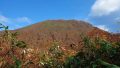
Mt. Yakeishi (焼石岳, 1,547 m), on the border of Oshu and Nishiwaga in Iwate, is one of the 200 Famous Japanese Mountains.
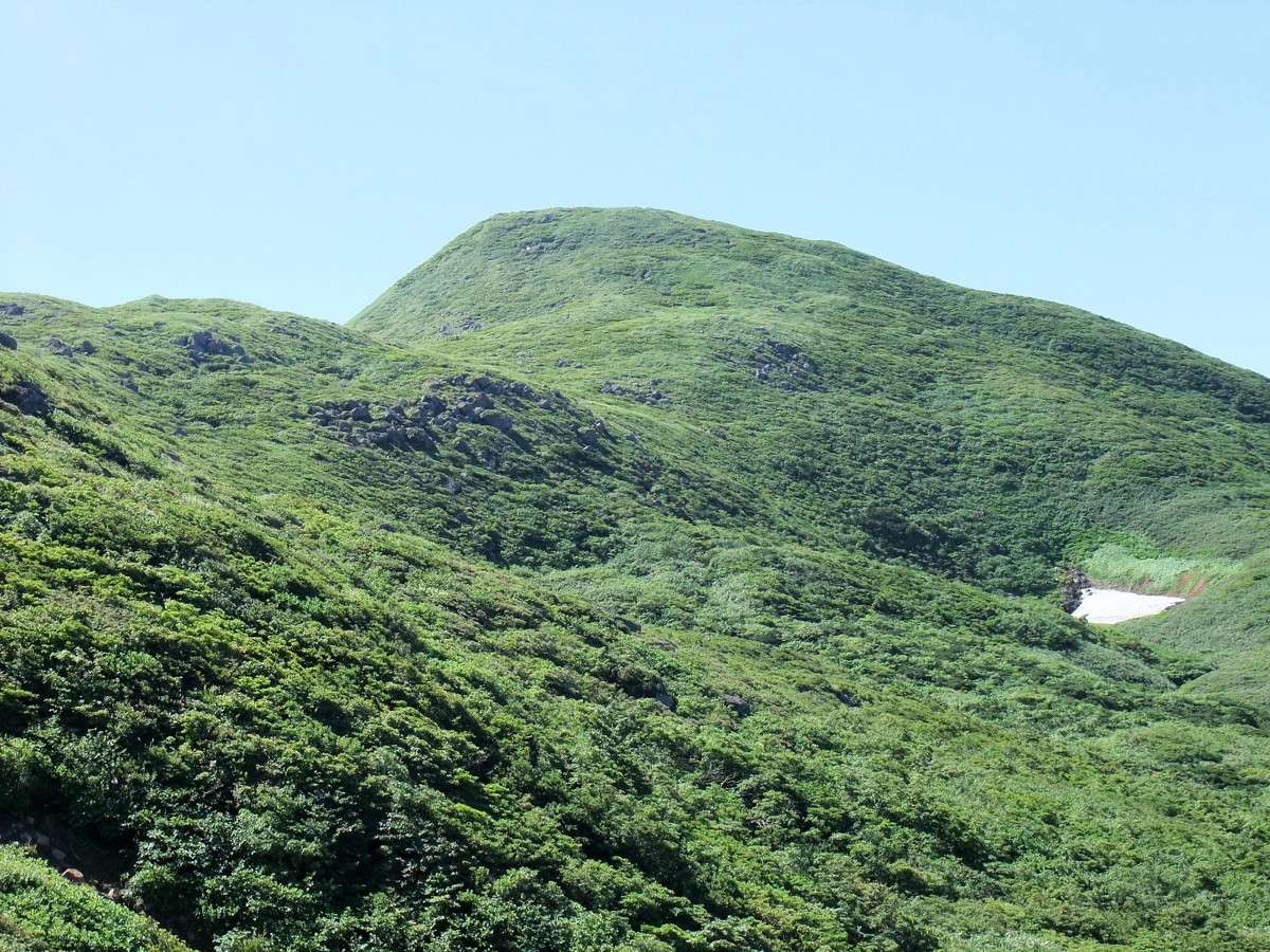
The main peak of the Yakeishi range, it is one of Tohoku’s finest flower mountains, rich in alpine plants such as the great fields of Hakusan-ichige anemones that bloom in early summer. Passing ponds, snow patches, and marshes on the way to the summit, it is a varied intermediate-level mountain.
There is no local bus to the trailhead, so public access means a taxi. The nearest stations are Mizusawa-Esashi on the JR Tohoku Shinkansen and Mizusawa on the JR Tohoku Main Line. You reach the Nakanuma trailhead by taxi from the Mizusawa area.
The trailhead is the Nakanuma trailhead (about 720 m). The standard route is an out-and-back: Nakanuma trailhead → Nakanuma pond → Kaminuma pond → Ginmeisui hut → Ubaishi-daira → Mt. Yakeishi summit, with a standard time of about 6 to 7 hours round trip, intermediate level. The mirror-like Nakanuma and Kaminuma ponds and the alpine flower fields of Ubaishi-daira are the highlights.
The mountain-opening is usually the first Sunday of June, and the season runs from June (Hakusan-ichige) to October (foliage). Snow patches remain until late July, so in early summer light crampons are reassuring. The Yakeishi Kua Park “Himekayu” at the foot is convenient for an overnight stay. Always check the latest trail and forest-road conditions in advance.
How to access the trailheads
1. [Round trip] Mizusawa-Esashi / Mizusawa Station → Nakanuma trailhead
The bases are Mizusawa-Esashi Station on the JR Tohoku Shinkansen and Mizusawa Station on the Tohoku Main Line. There is no local bus to the Nakanuma trailhead, so a taxi is the standard option.
To the Nakanuma trailhead is about 1 hour 10 minutes by taxi from Mizusawa-Esashi Station, or about 1 hour from Mizusawa Station. The Shitomae forest road before the trailhead is about 7 km of narrow, unpaved road (1.8 m width limit) with rough sections. No taxis wait at the trailhead and mobile phone reception is poor, so booking both the outbound and return rides in advance is essential. Tell the company your expected descent time and arrange the pickup.
– Mizusawa Taxi 0197-25-8181
– Hokuto Kotsu (Oshu) 0197-24-3111
Overnight stay: The Yakeishi Kua Park “Himekayu” (0197-49-2006) at the foot is a hot-spring lodging with a shuttle from Mizusawa and Mizusawa-Esashi stations (by reservation; confirm in advance), convenient for an early start. If you drive, there is parking at the Nakanuma trailhead (the forest road is impassable for microbuses).
Source: [Yakeishi Tourism Council, Nakanuma trailhead] / [Iwate Travel, Mt. Yakeishi]
Route and safety notes
Route: Nakanuma trailhead → Nakanuma pond → Kaminuma pond → Tsubunuma junction → Ginmeisui hut → Ubaishi-daira → Mt. Yakeishi (1,547 m), out and back. The standard time is about 6 to 7 hours round trip, intermediate level. Ginmeisui has a water source and an emergency hut, and from Ubaishi-daira the alpine flower fields spread out.
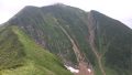
Snow notes: Mt. Yakeishi holds a lot of snow, and snow patches usually remain until late July. In early summer, beware of traversing snow and breaking through, and carry light crampons. Just after the thaw there is also mud and stream crossings.
Forest road and access: The Shitomae forest road is unpaved and narrow, and can be closed after heavy rain. Check the weather and road conditions not only for the day but for the preceding several days.
Gear and season: The season runs June to October. Carry water, food, rain gear, warm clothing, and a map/GPS, plus light crampons in early summer.
Emergencies: In case of accident or distress, call 110 (police) or 119 (fire/rescue).
・Oshu City Hall 0197-24-2111
Photo by らんで / Wikimedia Commons, CC BY-SA 3.0
Comments