Mount Nanatsugatake (Nanatsugatake, 1,636 m) is a mountain in Minamiaizu Town, Fukushima, and is one of Japan’s 300 Famous Mountains.
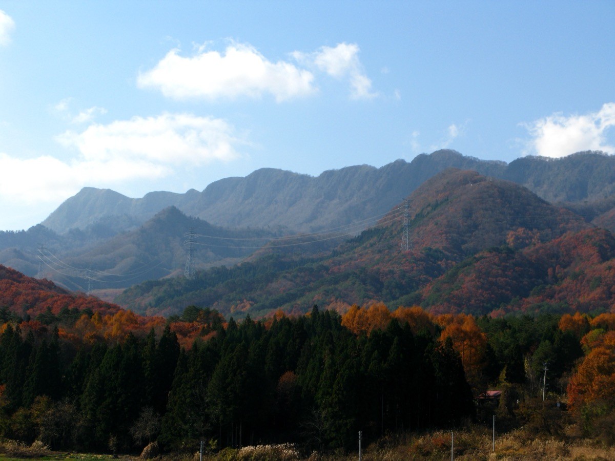
Its name comes from the seven peaks strung along its ridge, and its appeal lies in old-growth beech forest, alpine flowers and the 360-degree panorama from the summit of Mount Aizu-Komagatake, Mount Hiuchigatake and the Nasu range. From the Takatsue or Kuromorisawa trailhead it is about 2 hours 20 minutes to the summit, an intermediate route.
Public transport to the trailheads is limited, so you reach them by combining a bus or taxi from Aizu Railway’s Aizu-Tajima or Aizukōgen-Ozeguchi Station.
At present (the 2025 season), the open trails are the Takatsue route (round trip) and the Kuromorisawa route (ascent only). The Shimodake route is closed for forest-road works, and the Furuuchi and Hashio routes are closed by landslides. The main route is Takatsue trailhead → summit (1,636 m) and back, an intermediate route of about 2 hours 20 minutes each way. From the summit there are wide views of Mount Aizu-Komagatake, Mount Hiuchigatake, the Nasu range and the Ojika massif.
The best season is early summer to autumn (June–October), when alpine flowers such as Hakusan rhododendron appear near the summit. Always check the latest trail conditions and arrange a bus or taxi before you go.
*Last checked: June 7, 2026
How to access the trailheads
1. [There & Back] Aizu-Tajima / Aizukōgen-Ozeguchi Station ⇄ the trailheads (bus + taxi)
Aizu-Tajima Station and Aizukōgen-Ozeguchi Station on the Aizu Railway are your bases. There is no direct hiking bus to Mount Nanatsugatake, so combine a local bus or a taxi.
① Takatsue trailhead (Tateiwa side, best for public transport)
On the Aizu Bus line toward Hinoemata, get off at the Takatsue Ski Resort or the Yasō bus stop and walk to the Takatsue trailhead. The departure station was changed in 2024, so be sure to confirm the current departure station and times with Aizu Bus.
② Kuromorisawa trailhead (Tajima side, ascent only)
From Aizu-Tajima Station it is about 30 minutes by taxi to the Kuromorisawa (Gomataki) trailhead.
— Aizu Kotsu Tajima office 0241-62-1243.
③ Note (trail closures): in the 2025 season only the Takatsue route (round trip) and the Kuromorisawa route (ascent only) are open; the Shimodake route is closed for forest-road works (through fiscal 2025), and the Furuuchi and Hashio routes are closed by landslides. The forest road between the Kuromorisawa and Shimodake trailheads is also closed.
By car: there is parking at the Takatsue Ski Resort and the Kuromorisawa trailhead. Access via the Nishinasuno-Shiobara IC on the Tohoku Expressway or National Routes 121 and 352 along the Aizu Railway.
References: [Minamiaizu Tourism Association: Nanatsugatake trail info] / [Aizu Bus timetables]
Trail Guide and Safety Notes
Route: the main routes are out-and-back from the Takatsue or Kuromorisawa trailhead to the summit (1,636 m), each an intermediate route of about 2 hours 20 minutes one way. The Kuromorisawa route climbs the stream by Gomataki Falls, while the Takatsue route ascends the ridge directly. A narrow ridge runs north-east from the summit.
Closures and weather: the open trails change from year to year, so checking the latest information before you set out is essential. On narrow ridges and along streams, beware of slips and rockfall, and the summit area can be socked in by mist. It is Asian black bear country.
Views and nature: from the summit there is a panorama of Mount Aizu-Komagatake, Mount Hiuchigatake, the Nasu range and the Ojika massif. The mountain keeps old-growth beech forest, and near the summit alpine flowers such as Hakusan rhododendron and purple azalea add colour.
Equipment and emergencies: carry rain gear, warm clothing, a headlamp, a map/GPS, plenty of food and a bear bell. In an accident or emergency call 110 (police) or 119 (fire/ambulance).
・Minamiaizu Police Station 0241-62-0110
Photo by Qwert1234 / Wikimedia Commons, CC BY-SA 4.0
Comments