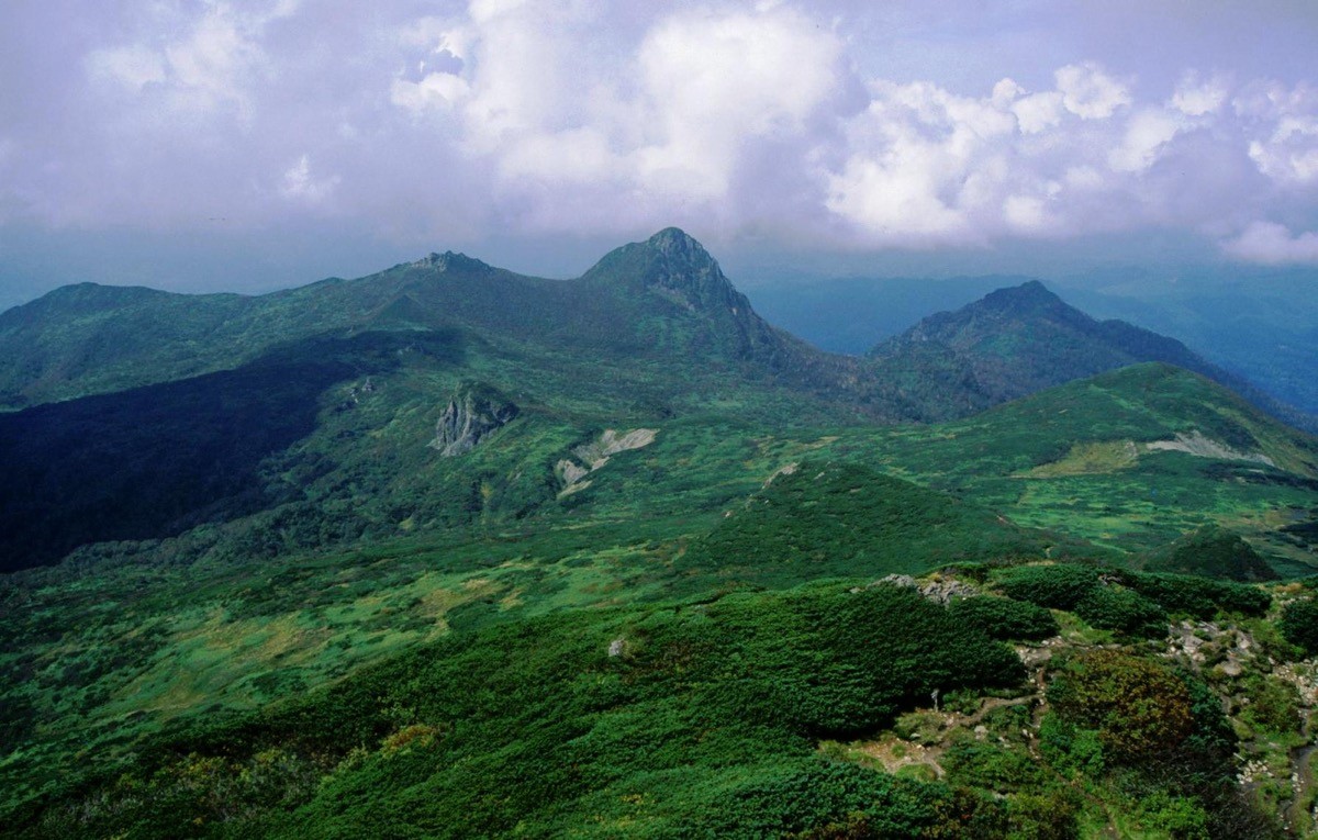
Mt. Yubari (夕張岳, 1,668 m), straddling Yubari and Minamifurano in Hokkaido, is one of the 200 Famous Japanese Mountains.
Known for the endemic alpine plants that grow on its serpentine soils, it is a “mountain of flowers” prized for flower fields where species found only here, such as the Yubari primrose, bloom. The Hiyamizu route on the Oyubari (Kashima) side is an intermediate round trip of about 8 hours 30 minutes with around 1,260 m of ascent, the flower fields of the Maedake marsh peaking in July.
The trailhead is the Yubaridake Hut. There is no public transport to the trailhead, so a rental car is assumed.
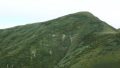
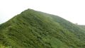
The trailhead is the Yubaridake Hut (free, unstaffed, with toilet). The route runs Yubaridake Hut → Hiyamizu stream → Bogakudai → Maedake marsh → Fukitoshi → Mt. Yubari; the standard round trip is about 8 hours 30 minutes, around 14 km, intermediate. It starts in forest, the view toward Mt. Ashibetsu opens at Bogakudai, and endemic species bloom along the boardwalk in the Maedake marsh. The serpentine rock is slippery and Fukitoshi is a wind corridor, so watch the weather.
In the Maedake marsh, stay on the boardwalk to protect the endemic species. This is brown-bear country, so carry a bear bell and be ready for sudden weather changes. The season is late June to late September.
How to access the trailheads
1. [Round trip] Shin-Yubari Station → Yubaridake Hut (Mt. Yubari trailhead)
The nearest base is Shin-Yubari Station (JR Sekisho Line) (Yubari Station on the branch line was closed in 2019). From Shin-Yubari there is no route bus to the trailhead, so access is basically by rental car. From central Yubari, take Route 452 to the Kashima forest road; it is about 1 hour 30 minutes by car to the Yubaridake Hut.
The Kashima forest road to the trailhead opens seasonally from the hut opening in late June to late September, and has been closed by landslides in the past. It is narrow with risk of rockfall and fallen trees, so always check the opening status before entering.
– Society to Protect the Nature of Mt. Yubari / Sorachi Forest Office (forest-road conditions) 0126-22-1940
Source: [Mt. Yubari climbing information (Society to Protect the Nature of Mt. Yubari)]
Route and safety notes
Route: Yubaridake Hut → Hiyamizu stream → Bogakudai → Maedake marsh → Fukitoshi → Mt. Yubari. The standard round trip is about 8 hours 30 minutes, around 14 km, with about 1,260 m of ascent, intermediate. For the descent, a loop using the Umanose route is also possible.
Flowers and marsh: the Maedake marsh formed on serpentine is a treasury of endemics such as the Yubari primrose and Yubari-so, peaking in July. Stay on the boardwalk to protect the endemic species.
Rock and wind: serpentine rock is slippery when wet, and Fukitoshi is a wind corridor prone to strong gusts. Turn back without forcing it if the weather changes suddenly.
Bears and gear: this is brown-bear country, so carry a bear bell and avoid going alone. Water is the Hiyamizu stream, and there is a toilet at the Yubaridake Hut. Bring a sleeping bag if staying at the hut.
Season and emergencies: the season is late June to late September. Carry rain and warm gear, a map and compass (GPS), and submit a climbing plan. In an emergency call 110 (police) or 119 (fire/rescue).
・Yubari City Hall 0123-52-3131
Photo by Alpsdake / Wikimedia Commons, CC BY-SA 3.0
Comments