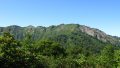
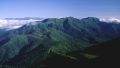
Mt. Teshio (天塩岳, 1,558 m), straddling Shibetsu and Takinoue in Hokkaido, is one of the 200 Famous Japanese Mountains.
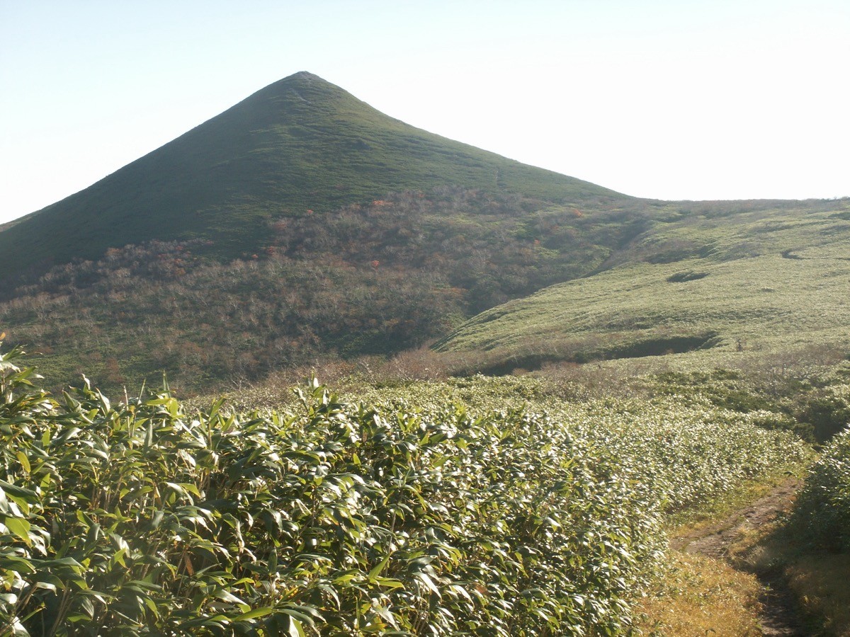
The highest peak of the Kitami Mountains and a leading summit of northern Hokkaido, its appeal is the beautiful triangular ridge continuing to Mae-Teshiodake and a quiet hike with few climbers. The loop from the Teshiodake Hut over the Shindo and Kyudo trails is an intermediate round trip of about 7.5 hours.
The nearest stations are Shibetsu on the JR Soya Main Line and Aibetsu on the JR Sekihoku Main Line. There is no public bus, so you reach the Teshiodake Hut by taxi from the station.
The trailhead is the Teshiodake Hut (end of the forest road, free, unstaffed). The route runs Teshiodake Hut → connecting trail → Mae-Teshiodake → Mt. Teshio → Kyudo → Maruyama → Teshiodake Hut as a loop; the standard round trip is about 7.5 hours with about 1,100 m of ascent, intermediate. The ridge via Mae-Teshiodake has the grand views typical of Hokkaido, and the natural beech and birch forest and alpine flowers are highlights.
There are few climbers and some unclear sections, and the area is home to brown bears. Take precautions such as a bear bell and avoid going alone. There is a free, unstaffed emergency hut partway up the Shindo. Water is the stream along the Kyudo (boil before use). The season is May to October (alpine flowers July to September).
How to access the trailheads
1. [Round trip] Shibetsu / Aibetsu Station → Teshiodake Hut (Mt. Teshio trailhead)
Shibetsu Station on the JR Soya Main Line, or Aibetsu Station on the JR Sekihoku Main Line, is the gateway. The Teshiodake Hut is about 60–70 minutes by taxi from the station (including a long forest road).
There is no route bus to the trailhead, so access is basically by taxi or rental car. As the distance is long and the fare is correspondingly high, reserve both ways in advance. The forest road may be impassable depending on conditions, so check before setting out. The night before, staying at the nearby Kyowa Onsen (Aibetsu, about 60 minutes from the trailhead) or the Teshiodake Hut makes for an easier climb.
– Shibetsu Hire 0165-23-5000 / Yumoto Kyowa Onsen (overnight) 01658-6-5815
Source: [Shibetsu City, Mt. Teshio] / [Yumoto Kyowa Onsen]
Route and safety notes
Route: Teshiodake Hut → connecting trail → Mae-Teshiodake → Mt. Teshio → Kyudo → Maruyama → Teshiodake Hut. The standard round trip is about 7.5 hours, around 14 km, with about 1,100 m of ascent, intermediate. The ridge via Mae-Teshiodake has fine views, and the Kyudo via Maruyama descends along a stream.
Unclear route and bears: there are few climbers and some unclear sections. Proceed carefully, checking signs and tape; as it is brown-bear country, carry a bear bell and avoid going alone.
Forest road and water: the forest road to the trailhead may be impassable depending on conditions. Water is the stream along the Kyudo; boil it before use.
Gear and season: the season is May to October. The weather changes quickly, so carry rain gear, warm clothing, a map and compass (GPS), and submit a climbing plan.
In an emergency: call 110 (police) or 119 (fire/rescue).
・Shibetsu Police Station 0165-23-0110
Photo by 衛兵隊衛士 / Wikimedia Commons, CC BY-SA 3.0
Comments