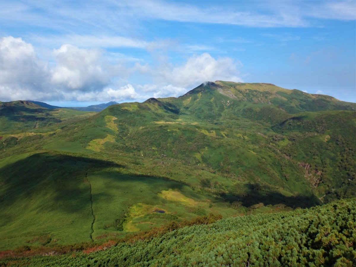
Mt. Shokanbetsu (暑寒別岳, 1,492 m), straddling Mashike, Uryu and other towns in Hokkaido, is one of the 200 Famous Japanese Mountains.
Facing the Sea of Japan, it is the highest peak of the Mashike Mountains, prized for alpine plants including the endemic Mashike-genge and the sea view from the summit. The Shokan route from Shokanso is an intermediate round trip of about 8 hours with around 1,330 m of ascent, the flowers peaking from mid- to late July.
The trailhead is Shokanso. There is no public transport to the trailhead, so you reach it by rental car or taxi from central Mashike.
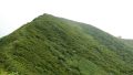
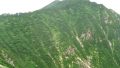
The trailhead is Shokanso (free, unstaffed, with toilet). The route runs Shokanso → 4th station → switchbacks → Senpu-iwa → Mt. Shokanbetsu; the standard round trip is about 8 hours, around 12 km, intermediate. It starts in forest, the climb steepens near the 4th station, and the view opens past Senpu-iwa. Heavy snow can remain even in late June, so crampons may be needed.
This is brown-bear country, so carry a bear bell and be ready for sudden weather changes. Water is a stream along the way, and there is a toilet at Shokanso. The season is late June to early October.
How to access the trailheads
1. [Round trip] Mashike → Shokanso (Mt. Shokanbetsu trailhead)
The nearest base is Mashike. With Mashike Station gone after the Rumoi Main Line (Rumoi–Mashike) was abolished in 2016, you reach central Mashike by Engan Bus from Rumoi, or by rental car from Asahikawa or Rumoi.
From central Mashike to the trailhead there is no route bus, so a rental car or taxi is the norm. From Route 231, take the Shokanbetsu Park road; it is about 12 km, roughly 15 minutes by car, to Shokanso. The trail is in good condition, but check snow and opening status with the town before entering.
– Mashike Town Office, Commerce & Tourism Division (roads, taxi, climbing info) 0164-53-3332
Source: [Mashike Town, Mt. Shokanbetsu Shokan route]
Route and safety notes
Route: Shokanso → 4th station → switchbacks → Senpu-iwa → Mt. Shokanbetsu. The standard round trip is about 8 hours, around 12 km, with about 1,330 m of ascent, intermediate. From the summit you overlook the Sea of Japan and the Shokanbetsu range. There are also the Uryu route (via the Uryunuma marsh) on the Uryu side and the Hashibetsu route.
Flowers and views: mid- to late July is the flower peak, when alpine plants such as the endemic Mashike-genge and Ezo-tsutsuji bloom.
Snow and weather: heavy snow can remain even in late June, so crampons may be needed. The weather changes easily, so carry rain and warm gear.
Bears and gear: this is brown-bear country, so carry a bear bell and avoid going alone. Water is a stream along the way, and there is a toilet at Shokanso. Carry a map and compass (GPS) and submit a climbing plan.
In an emergency: call 110 (police) or 119 (fire/rescue).
・Mashike Town Office 0164-53-1111
Photo by Koda6029 / Wikimedia Commons, CC BY-SA 4.0
Comments