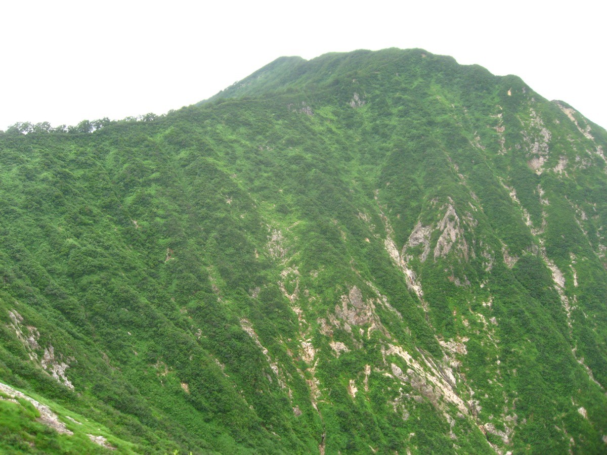
Mt. Mikagura (御神楽岳, 1,386 m), in Aga, Niigata, is one of the 200 Famous Japanese Mountains.
Rising on the border of Aizu and Echigo, it is a fine peak of sharp rocky ridges, also beautiful with Himesayuri lilies in early summer and autumn foliage. It has the popular Muroya course and the steep, rocky Semigahira course; the Muroya course is an intermediate route of about 7 hours 20 minutes round trip.
There is no public transport to the trailhead, so a taxi from the nearest station is the norm. The nearest station is Tsugawa on the JR Banetsu West Line. You reach the Muroya trailhead by taxi from Tsugawa Station.
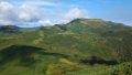
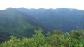
The trailhead is the Muroya trailhead (Aga, Niigata). The standard route is an out-and-back: Muroya trailhead → Omori → Amagoi-mine → Mt. Mikagura, with a standard time of about 7 hours 20 minutes round trip, intermediate level. You climb a beech-forest ridge, then beyond Amagoi-mine reach the rocky summit, where the view opens out over the mountains of Aizu and Echigo.
The other Semigahira course, with sharply dropping rocky ridges, is for advanced climbers and requires ample experience and gear. The season runs from early summer (Himesayuri lilies) to autumn foliage (roughly June to November). The rocks are slippery after rain, so take care. Always check the latest trail and forest-road conditions in advance.
How to access the trailheads
1. [Round trip] Tsugawa Station → Muroya trailhead
The base is Tsugawa Station on the JR Banetsu West Line. There is no local bus to the Muroya trailhead, so a taxi is the standard option.
To the Muroya trailhead is reached by taxi from Tsugawa Station (via prefectural roads from the Tsugawa IC direction). No taxis wait at the trailhead and mobile phone reception is poor, so booking both the outbound and return rides in advance is essential. As the round trip takes about 7 hours 20 minutes, allow margin in the descent time you give for the pickup.
– Tsugawa Taxi 0254-92-2440
– Aga Taxi 0254-92-2450
Forest road / inquiries: The forest road to the trailhead can be closed in places, so check it together with trail conditions in advance with the Aga Tourism Association. If you drive, there is free parking for about 10 cars at the Muroya trailhead (no toilet).
Source: [Niigata Tourism Navi, Mt. Mikagura / Muroya trailhead] / [Aga Town, town bus timetable]
Route and safety notes
Route: Muroya trailhead → Omori → Amagoi-mine → Mt. Mikagura (1,386 m), out and back. The standard time is about 7 hours 20 minutes round trip, intermediate level. The first half is a beech-forest ridge and the latter half a rocky zone; from the summit the view opens out over the Iide range and Mt. Awa.
Rocky ridge / advanced course: The Semigahira course has sharply dropping rocky ridges and is for advanced climbers, with a high risk of falls; beginners and intermediate climbers should take the Muroya course. Be especially careful on the rocks after rain or in fog.
Forest road and access: The forest road to the trailhead has unpaved sections and can be closed after heavy rain. Check the weather and road conditions not only for the day but for the preceding several days.
Gear and season: The season runs June to November. Carry water, food, rain gear, warm clothing, and a map/GPS (carry plenty of water, as water and toilets are scarce at the trailhead and on the course).
Emergencies: In case of accident or distress, call 110 (police) or 119 (fire/rescue).
・Aga Town Office 0254-92-3111
Photo by Qwert1234 / Wikimedia Commons, CC BY-SA 4.0
Comments