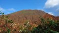
Mt. Ashibetsu (芦別岳, 1,726 m), straddling Furano, Ashibetsu and Minamifurano in Hokkaido, is one of the 200 Famous Japanese Mountains.
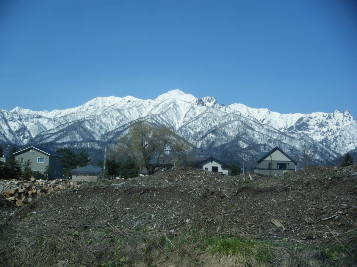
The main peak of the Yubari Mountains, rising massively behind the Furano plain, it is prized for the sweeping view of the Tokachi and Daisetsu ranges from its summit. The usual Shindo (new) route is an intermediate round trip of about 9 hours with around 1,550 m of ascent, known as one of Hokkaido’s steepest climbs.
The trailhead is the Taiyo-no-Sato campground. From Furano Station you take a Furano Bus to Yamabe, then reach the trailhead on foot or by taxi.
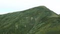
The trailhead is the Shindo route trailhead (Yamabe Nature Park, Taiyo-no-Sato campground, with toilets). The route runs trailhead → Uguisudani → Hanmenzan → Unpozan → Mt. Ashibetsu; the standard round trip is about 9 hours, around 14 km, intermediate. It starts in larch forest, the view opens near Hanmenzan, and after the ups and downs of Unpozan you reach the summit. The Kyudo (old) route along the Yufure stream is an advanced route requiring stream-climbing and a rope, so a day trip is usually the Shindo round trip.
This is brown-bear country, so always carry a bear bell and other measures. The Shindo route has no water source, so carry water and be ready for sudden weather changes. The season is late June to late September.
How to access the trailheads
- [Outbound] Furano Station → Yamabe → Taiyo-no-Sato (Mt. Ashibetsu trailhead)
- [Return] Yamabe → Furano Station
1. [Outbound] Furano Station → Yamabe → Taiyo-no-Sato (Mt. Ashibetsu trailhead)
The nearest base is Furano Station (JR Furano Line / Nemuro Main Line toward Takikawa). From in front of Furano Station, take the Furano Bus Nishitappu Line and get off at Yamabe (about 25 minutes). From Yamabe it is about 3 km, roughly a 40-minute walk, to the Taiyo-no-Sato campground (Shindo route trailhead); if pressed for time, a taxi from Furano or Yamabe is handy (Chuo Hire 0167-22-2800 / Furano Taxi 0167-22-5001).
For a day trip, taking the Furano Station 7:16 departure → Yamabe 7:41 arrival gives you ample time.
Bus timetable: Furano Station → Yamabe (Furano Bus Nishitappu Line)
| Furano Station dep. | Yamabe arr. |
|---|---|
| 7:16 | 7:41 |
| 10:26 | 10:51 |
| 14:06 | 14:31 |
| 16:21 | 16:46 |
| 17:26 | 17:51 |
| 18:46 | 19:11 |
Source: [Furano Bus Nishitappu Line]
2. [Return] Yamabe → Furano Station
After descending, return from Taiyo-no-Sato to Yamabe on foot in about 40 minutes (or by taxi) and take the Furano Bus Nishitappu Line back to Furano Station. For a 9-hour outing, descend with enough margin to catch an afternoon bus. If you miss the last bus, only a taxi (Chuo Hire 0167-22-2800) remains.
Bus timetable: Yamabe → Furano Station (Furano Bus Nishitappu Line)
| Yamabe dep. | Furano Station arr. |
|---|---|
| 7:28 | 7:56 |
| 9:18 | 9:46 |
| 12:38 | 13:06 |
| 16:23 | 16:51 |
| 19:33 | 20:01 |
| 20:53 | 21:21 |
Source: [Furano Bus Nishitappu Line]
Route and safety notes
Shindo (new) route: Taiyo-no-Sato trailhead → Uguisudani → Hanmenzan → Unpozan → Mt. Ashibetsu. The standard round trip is about 9 hours, around 14 km, with about 1,550 m of ascent, intermediate. The view opens near Hanmenzan, and from the summit the Tokachi and Daisetsu ranges spread out.
Kyudo (old) route: an advanced route climbing the Yufure stream, requiring stream shoes and a rope. The loop with the Shindo route is for experienced hikers; a normal day trip is the Shindo round trip.
Bears and gear: this is brown-bear country, so carry a bear bell and avoid going alone. The Shindo route has no water source, so bring water. There is a toilet at Taiyo-no-Sato.
Season: the season is late June to late September. The ascent is large and demanding, so carry rain and warm gear, a map and compass (GPS), and submit a climbing plan.
In an emergency: call 110 (police) or 119 (fire/rescue).
・Furano City Hall 0167-39-2300
Photo by 欅 / Wikimedia Commons, CC BY-SA 3.0
Comments