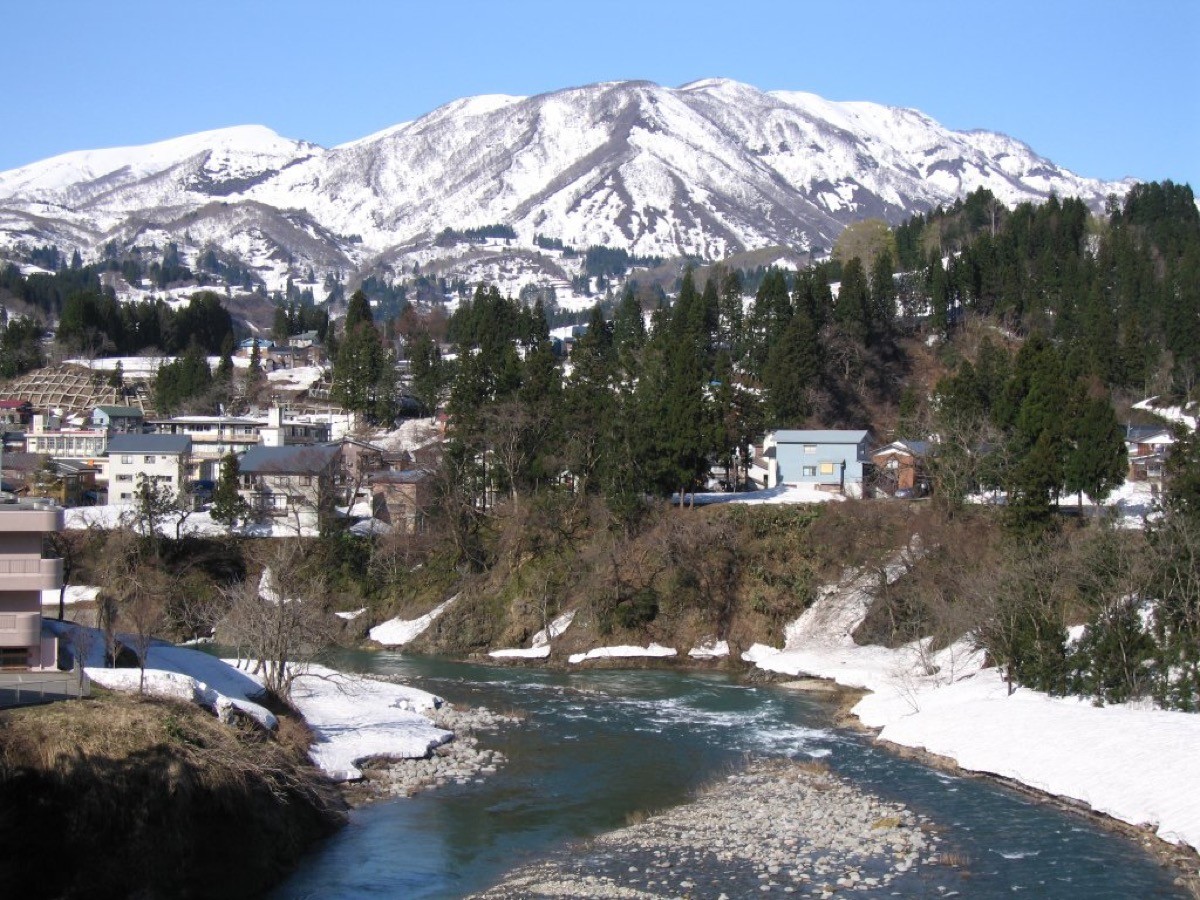
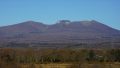
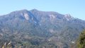
Mt. Sumon (守門岳, 1,537 m), straddling Uonuma, Sanjo and Nagaoka in Niigata Prefecture, is one of the 200 Famous Japanese Mountains.
It is the collective name for three peaks — Odake, Aokumodake and Hakamadake — and is known for the huge cornice on its ridge, said to be “the largest in the East,” and for summer alpine flowers and a skywalk-like ridge. The Hokyure route goes over Odake to the main peak Hakamadake, an intermediate round trip of about 6.5 hours.
The nearest stations are JR Koide and Echigo-Suhara. From the station you reach the Hokyure trailhead by taxi.
The trailhead is the Hokyure trailhead. The route runs Hokyure trailhead → Hokyure hut → Kibitaki hut → Odake → Aokumodake → Mt. Sumon (Hakamadake) and back; the standard round trip is about 6.5 hours, intermediate. It climbs through forest as far as Odake, beyond which the open ridge continuing to Aokumodake and Hakamadake is the highlight.
The Hokyure hut and Kibitaki hut are unstaffed emergency shelters, and there is a spring (water point) along the route. Snow lingers late, so the season is June to October; watch for snow and ice in early spring and late autumn. Alpine flowers such as Himesayuri lily color the ridge.
How to access the trailheads
1. [Round trip] Koide / Echigo-Suhara Station → Hokyure trailhead (Mt. Sumon trailhead)
Koide Station on the JR Joetsu and Tadami lines, or Echigo-Suhara Station on the Tadami line, is the gateway. The Hokyure trailhead is at the end of a forest road, and you reach it from the station by taxi.
There is no route bus all the way to the trailhead, so a taxi is the norm (a bus runs to Nukugi, but the trailhead is a further 7 km on foot, which is not practical). The local Okutadami Taxi handles trailhead transfers for Mt. Echigo-Koma, Mt. Sumon and others (7:00–17:00). As the number of cabs is limited, reserve both ways in advance.
– Okutadami Taxi 025-792-4141 / Koide Taxi 025-792-0019
Source: [Tochio Tourism Association, Mt. Sumon climbing] / [Niigata Tourism Association, Mt. Sumon]
Route and safety notes
Route: Hokyure trailhead → Hokyure hut → Kibitaki hut → Odake → Aokumodake → Mt. Sumon (Hakamadake). The standard round trip is about 6.5 hours, intermediate. The ridge from Odake to Hakamadake has fine views, and in summer alpine flowers are abundant.
Lingering snow and the cornice: the snow melts late, and a large cornice remains on the ridge well into the season. In early spring beware of breaking through or collapse of the cornice, and do not push on while snow remains.
Emergency shelters and water: the Hokyure hut and Kibitaki hut are unstaffed emergency shelters. There is a spring along the route, but carry enough water. It is a day trip.
Gear and season: the season is June to October. Carry water, food, rain gear and warm clothing, and submit a climbing plan.
In an emergency: call 110 (police) or 119 (fire/rescue).
・Uonuma Police Station 025-792-0110
Photo by Yuniko / Wikimedia Commons, CC BY-SA 3.0
Comments