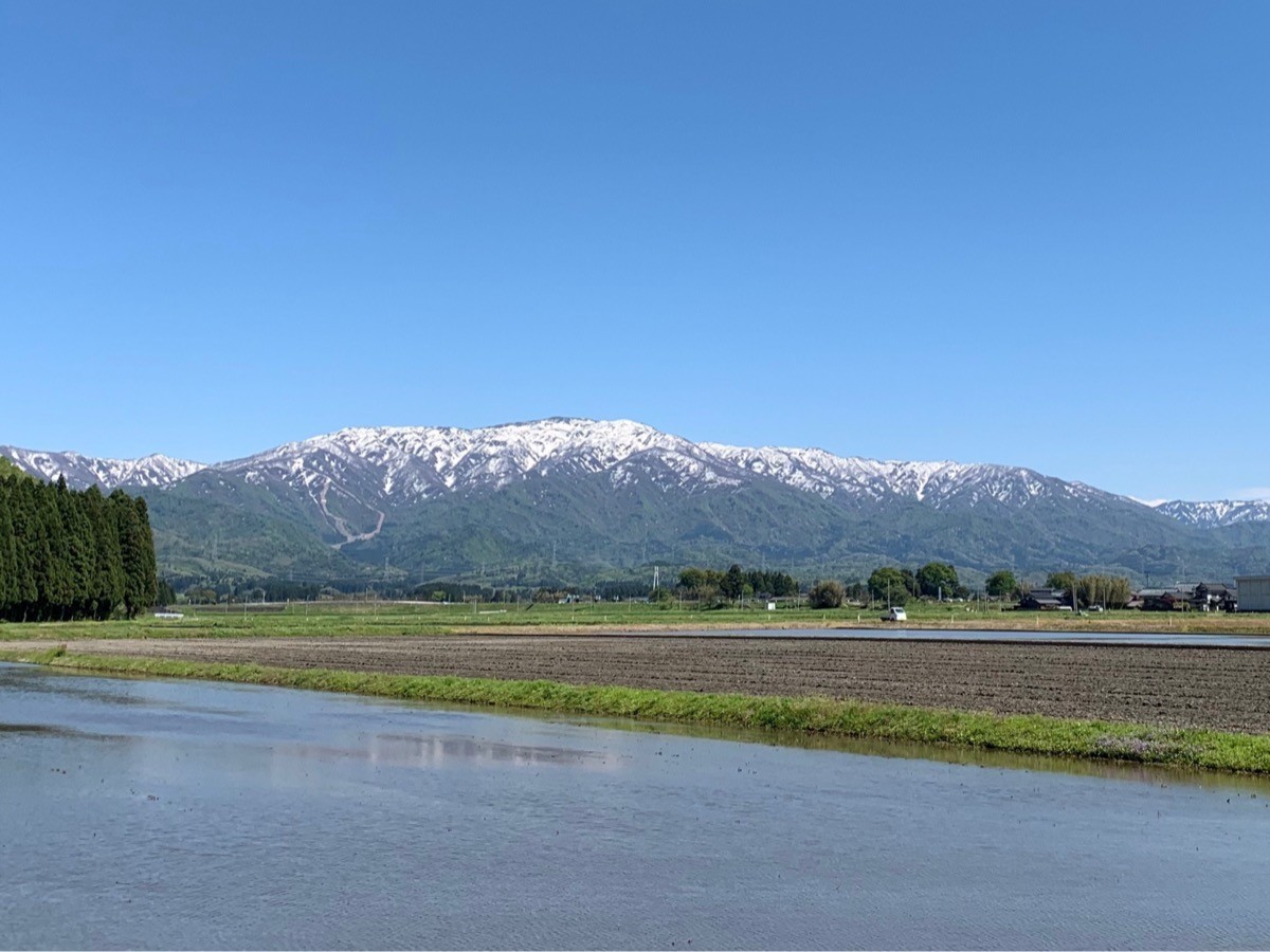
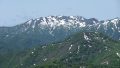
Mt. Ninoji (二王子岳, 1,420 m) in Shibata, Niigata Prefecture, is one of the 200 Famous Japanese Mountains.
From the summit a wide panorama of the Iide mountains opens up, and the peak is well loved for its emergency hut and “Bell of Youth.” The usual route, out and back from Ninoji Shrine, is about 4 hours up and around 7 hours round trip — an intermediate course — with flower meadows around the 5th and 8th stations.
The nearest station is Shibata on the JR Uetsu Main Line and Hakushin Line. From there you reach the Ninoji Shrine trailhead by taxi.
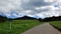
The trailhead is Ninoji Shrine (300 m elevation), with parking for about 70 cars and a trailhead toilet (there are no toilets along the trail). The route runs Ninoji Shrine → 3rd station, Ichiōji emergency hut (720 m) → 5th station, Jōkōyama (994 m) → 7th station, Aburakoboshi (1,230 m) → 8th station, Ohanabatake flower field (1,320 m) → summit (1,420 m): about 4 hours up, around 7 hours round trip, intermediate. There are emergency huts at the summit and at the 3rd station (Ichiōji).
The mountain-opening is usually mid-May (May 17 in 2026), and the season runs late May to November. In the lingering-snow season watch the steep slope around Aburakoboshi; in summer the flower fields and in autumn the foliage, together with the summit view of the Iide range, are the highlights. There are no shops on the mountain, so prepare water and food in advance.
How to access the trailhead
1. [Outbound & Return] Shibata Station → Ninoji Shrine
Get off at Shibata Station on the JR Uetsu Main Line and Hakushin Line; the Ninoji Shrine trailhead is about 20 min by taxi (around 12 km).
There is no regular bus directly to Ninoji Shrine (the “Ayame” city-loop bus does not reach the trailhead, and even the nearest Minowa stop is over 40 minutes’ walk away). A taxi from Shibata Station is therefore the realistic option. Booking a return pick-up to match your descent time is recommended.
– Shibata Kankō Taxi 0120-22-5600
– Taiyō Kōtsū Shibata-Chūō 0254-22-1166
– Kaetsu Taxi 0120-23-2245
Source: [Shibata City, Mt. Ninoji] / [Shibata Tourism Guide, Mt. Ninoji]
Route and safety notes
Route: Ninoji Shrine → 3rd station, Ichiōji emergency hut → 5th station, Jōkōyama → 7th station, Aburakoboshi → 8th station, Ohanabatake → summit. About 4 hours up, around 7 hours round trip, intermediate. There are emergency huts at the summit and at the 3rd station, and the summit gives a sweeping view of the Iide range.
Lingering snow / steep slope: the 7th station, Aburakoboshi, is a steep slope where, in the lingering-snow season (through about June), falls are a particular risk. Bring light crampons, poles and other gear as conditions require.
Gear and water: there are no toilets along the trail and no shops on the mountain. Carry water, food, rain gear and warm clothing, and submit a climbing plan.
Bears: Asian black bears live in the area, so carry a bear bell.
In an emergency: call 110 (police) or 119 (fire/rescue).
・Shibata Tourism Association 0254-26-6789
Photo by Agakambara / Wikimedia Commons, CC BY-SA 4.0
Comments