Mt. Ikeguchi (池口岳, 2,392 m), on the border of Iida in Nagano and Kawanehon in Haibara, Shizuoka, is one of the 200 Famous Japanese Mountains.
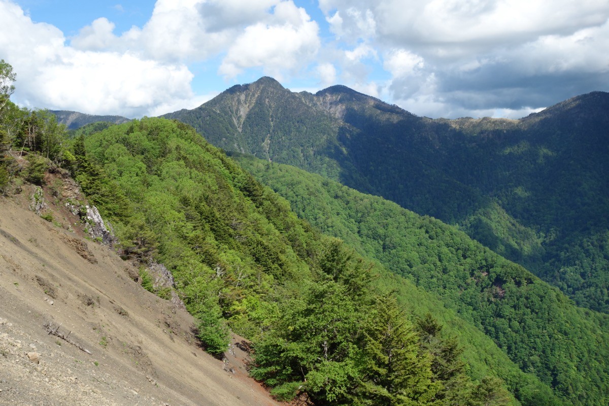
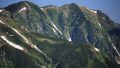
In the deep south of the Southern Alps, it is a twin-peaked mountain of a north and a south peak, and its appeal is the quiet, deep terrain covered in primeval forest and the imposing profile seen from Toyamago. It is usually climbed out and back from the Ikeguchi trailhead on the Nagano side, and it is an advanced route, a long day of more than 11 hours round trip.
For public transport, buses reach only the centre of Toyamago, and beyond that a taxi is the norm. The nearest stations are Iida and Hiraoka on the JR Iida Line. You take a bus from Iida Station into Toyamago, then a taxi to the Ikeguchi trailhead.
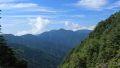
The trailhead is the Ikeguchi trailhead (about 1,100 m). The standard route is Ikeguchi trailhead → Omokiri-daira → Kuronagi → the Junction → Mt. Ikeguchi (north peak), out and back, with a standard time of about 11–12 hours. A strong hiker can do it in a day, but as it is so long it is an advanced route for which a night out should also be considered. Deep primeval forest and narrow ridges continue, and as there is no proper hut, bring plenty of water and gear.
The best season is June to October after the snow melts; in this deep southern area the trail is unclear in places, so beware of strong wind, sudden weather changes and losing the way. Always check the latest trail, forest-road and bus conditions in advance.
*Last checked: June 6, 2026
How to access the trailheads
1. [Round trip] Iida Station → Toyamago (Wada) → Ikeguchi trailhead
The base is Iida Station on the JR Iida Line. There is no local bus to the Ikeguchi trailhead, so from Toyamago a taxi or a car is the standard option.
① Iida Station → Toyamago / Wada (Shinnan bus)
Take the Shinnan Kotsu regional bus “Toyamago Line” from Iida Station and get off at Wada. The fare is ¥700 (large hiking luggage costs an extra ¥350). There are few services, so always check the latest times with Shinnan Kotsu or the Minami-Shinshu public-transport guide. From JR Hiraoka Station you can also reach Wada by the Hiraoka Line shared taxi (¥600).
② Wada → Ikeguchi trailhead (taxi)
From Wada to the Ikeguchi trailhead, use a taxi. Mobile reception is poor at the trailhead, so booking both the outbound and return rides in advance is essential. As the day is long, arrange the pickup with plenty of margin from your planned descent time.
― Toyama Taxi 0260-32-2061
― Tenryu Kanko Taxi 0260-36-2205
Inquiries / by car: For the latest forest-road information, check with the Toyamago Tourism Association (0260-34-1071). By car it is about 2 hours from the Matsukawa IC on the Chuo Expressway, with parking at the Ikeguchi trailhead (about 7 cars).
Source: [Shinnan Kotsu, Toyamago Line] / [Shinshu Toyamago, access]
Route and safety notes
Route: Ikeguchi trailhead → Omokiri-daira → Kuronagi → the Junction → Mt. Ikeguchi north peak (2,392 m). The standard time is about 11–12 hours round trip, an advanced, long route representative of the deep southern Southern Alps. From the north peak the primeval-forest ridge toward the south peak and Mt. Tekari opens up.
Long day and route-finding: In the deep primeval forest there are narrow ridges and sections where the path is faint, so take care not to lose the way. A day trip means many hours of walking, so carry a headlamp, start very early, and turn back if it is not feasible.
Water, gear and season: As reliable water sources are few, carry plenty of water. The best season is June to October. Do not forget rain gear, warm clothing, a bivy sack, and a map/GPS.
Emergencies: In an accident or emergency, call 110 (police) or 119 (fire/rescue).
・Iida Police Station 0265-22-0110
Photo by Koda6029 / Wikimedia Commons, CC BY-SA 4.0
Comments