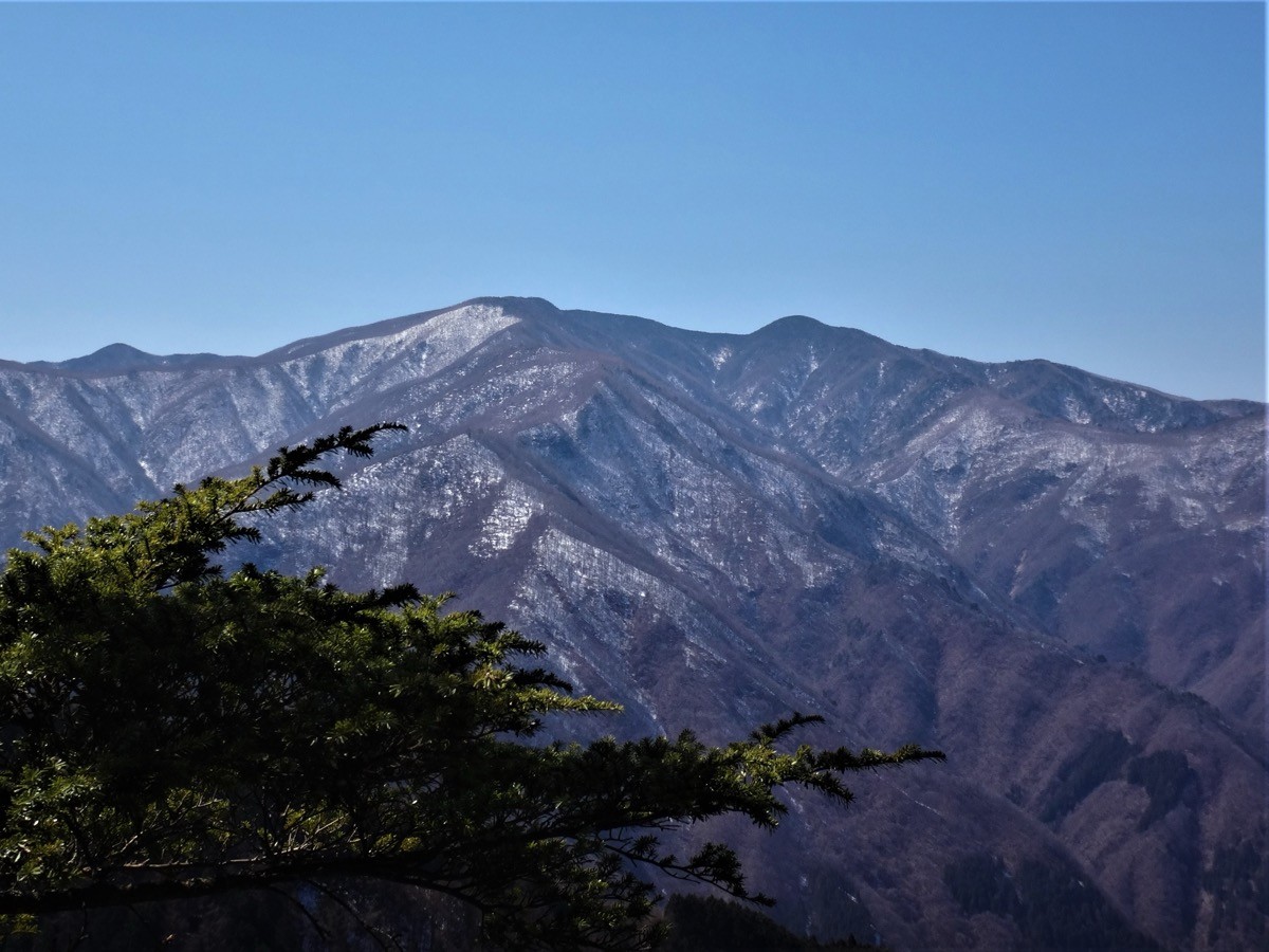
Mt. Wanakura (和名倉山, 2,036 m) in Chichibu, Saitama, is one of the 200 Famous Japanese Mountains.
Also known as Mt. Shiroishi, it is a hidden peak that spreads vast lower slopes and stands quietly in the deepest Oku-Chichibu, prized for a tranquil walk through forest, though its summit has no view. The usual Minose–Shogen-toge route is a round trip of about 8 to 9 hours, an intermediate-to-advanced route with bamboo grass and some unclear sections.
The trailhead is Minose. There is little convenient public transport to the trailhead, so a taxi from Enzan Station or an overnight stay is realistic.
The trailhead is Minose (Shogen-toge entrance; the Miharashi guesthouse parking is available). The route runs Minose → Shogen-toge → Nishi-Senba → Higashi-Senba → Mt. Wanakura; the standard round trip is about 8 to 9 hours, intermediate to advanced. Below the summit the bamboo grass grows deep and the trodden path becomes unclear in places, so a topographic map and GPS are essential. The summit has no view, but there is charm in walking the deep forest of Oku-Chichibu.
As the route is long, it is safest to stay overnight at the Miharashi guesthouse or the Shogen Hut and set off early. This is black-bear country, so carry a bear bell. The season is mid-May to early November.
How to access the trailheads
1. [Round trip] Enzan Station → Minose (Mt. Wanakura trailhead)
The nearest base is Enzan Station (JR Chuo Main Line). You can take a bus from Enzan Station toward Nishizawa Gorge to Ochiai, but from the Ochiai bus stop it is about 7 km to the Minose trailhead, too far to be practical for hiking.
So a direct taxi from Enzan Station to Minose (about 30 to 40 minutes, around ¥10,000) is the practical choice. By rental car, take Route 411 from the Katsunuma interchange to the Ichinose forest road. As the route is long and an early start is best, it is reassuring to stay overnight at the Miharashi guesthouse in Minose or at the Shogen Hut on the mountain.
– Miharashi guesthouse (Minose; parking/overnight) 0553-34-2109 / Shogen Hut (late April to late November) 0553-32-1044
Source: [Shogen-toge entrance trailhead info]
Route and safety notes
Route: Minose → Shogen-toge → Nishi-Senba → Higashi-Senba → Mt. Wanakura. The standard round trip is about 8 to 9 hours, intermediate to advanced. To Shogen-toge it is forest road and trail, beyond that a ridge walk, but below the summit the bamboo grass deepens.
Unclear route and gear: the trodden path is faint and junctions hard to read in places, so a topographic map and GPS are essential. With little view, navigation skill is the key to safety.
Bears and season: this is black-bear country, so carry a bear bell and avoid going alone. The season is mid-May to early November, and the Shogen Hut operates from late April to late November.
Gear: carry rain and warm gear, a map and compass (GPS), and submit a climbing plan. Water sources are limited, so carry plenty.
In an emergency: call 110 (police) or 119 (fire/rescue).
・Chichibu City Office 0494-22-2211
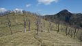
Photo by Koda6029 / Wikimedia Commons, CC BY-SA 4.0

Comments