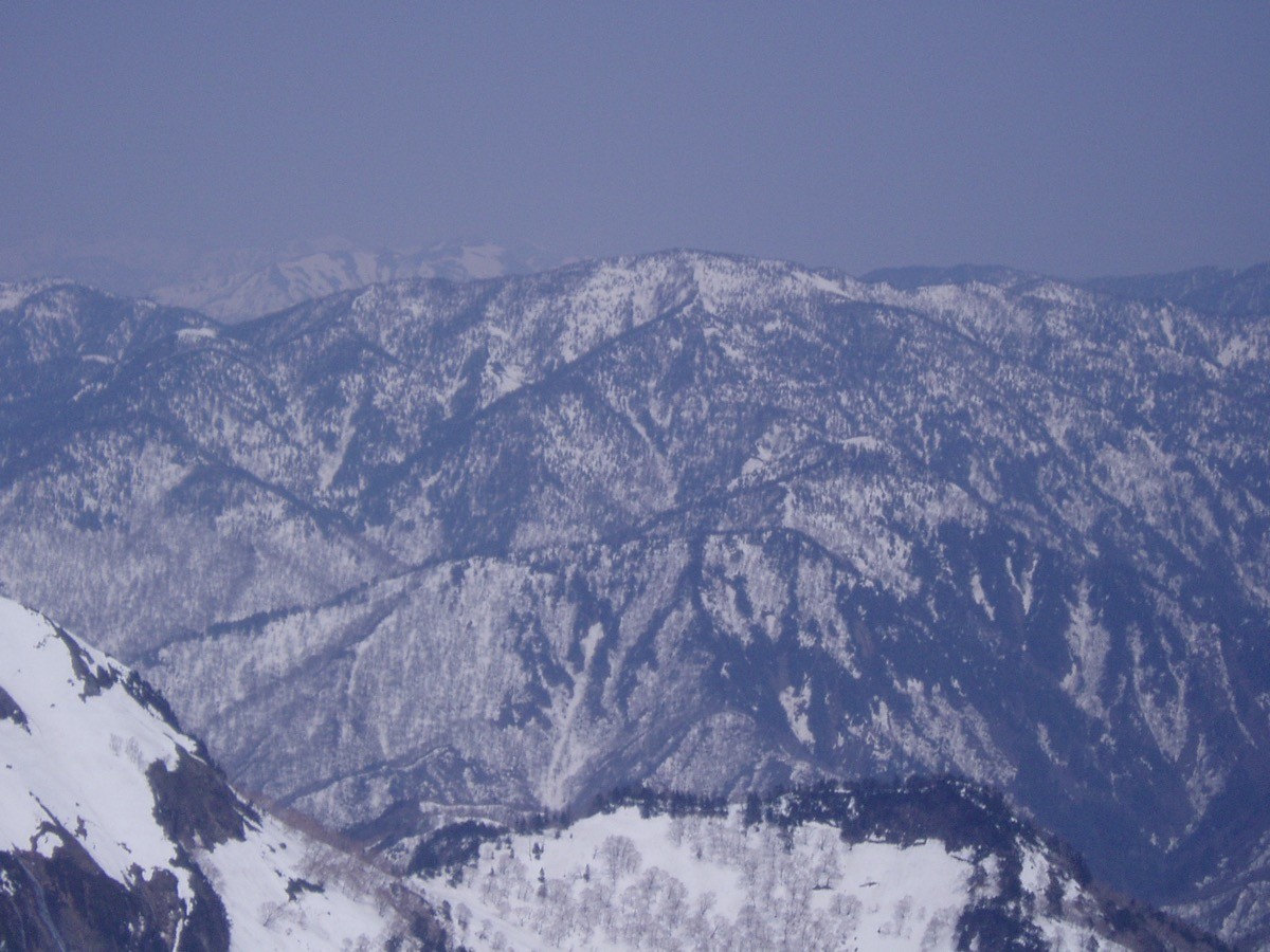
Mt. Saburyu (佐武流山, 2,192 m), on the border of Sakae in Nagano and Niigata, is one of the 200 Famous Japanese Mountains.
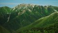
Rising deep beyond the remote Akiyama-go, it is a fine peak of the Joshin’etsu-kogen National Park, prized for its quiet views of Mt. Naeba and the Tanigawa range and its deep, little-visited terrain. The route from Doronokidaira on the Kiriake Onsen side is an advanced round trip of about 12 to 14 hours involving a ford of the Hinokimata River.
The trailhead is Doronokidaira. There is no convenient public transport to the trailhead, so it is realistic to stay overnight at Kiriake Onsen and access it by rental car or taxi.
The trailhead is Doronokidaira (along National Route 405, about 1,060 m). The route runs Doronokidaira → Hinokimata River ford → Monoomoidaira → Warusa Peak → Mt. Saburyu; the standard round trip is about 12 to 14 hours, long with a ford, advanced. As the time on the move is very long, plan it as a fit hiker’s day trip or with a tent, with an overnight at Kiriake Onsen assumed. The Hinokimata River becomes dangerous to ford when in spate.
This is black-bear country with stretches that have no mobile signal, so avoid going alone. National Route 405 beyond Tochikawa Onsen is usually closed for winter from mid-November to mid-May. The season is mid-June to mid-October.
How to access the trailheads
1. [Round trip] Tsunan Station → Akiyama-go (Kiriake) → Doronokidaira (Mt. Saburyu trailhead)
The nearest base is Tsunan Station (JR Iiyama Line) or Echigo-Yuzawa Station. To Kiriake Onsen in the remote Akiyama-go there is a seasonal bus, but services are limited, so check the latest operation with Tsunan Town and Sakae Village.
From Kiriake Onsen to the Doronokidaira trailhead there is no route bus, so a rental car or taxi is the norm. It is on National Route 405, and the section beyond Tochikawa Onsen is usually closed for winter from mid-November to mid-May. As the route is long, it is safest to stay overnight at Kiriake Onsen and start early.
– Sakae Village Office (roads, climbing info) 0269-87-3111
Source: [Mt. Saburyu (Doronokidaira) climbing info]
Route and safety notes
Route: Doronokidaira → Hinokimata River ford → Monoomoidaira → Warusa Peak → Mt. Saburyu. The standard round trip is about 12 to 14 hours, advanced. It begins on forest road and through woods, fords the Hinokimata River to gain the ridge, and crosses Warusa Peak to the summit. There is also a traverse route to Mt. Naeba.
Fording and long days: the Hinokimata River becomes dangerous to ford when in spate. As the time on the move is very long, even a fit hiker’s day trip needs time management to descend in daylight; a tent is also an option.
Bears and signal: this is black-bear country with stretches that have no mobile signal. Carry a bear bell and avoid going alone.
Gear and season: the season is mid-June to mid-October. National Route 405 is closed in winter. Carry rain and warm gear, a map and compass (GPS), and submit a climbing plan. Water is limited, so carry plenty.
In an emergency: call 110 (police) or 119 (fire/rescue).
・Sakae Village Office 0269-87-3111
Photo by Oyama no taisho / Wikimedia Commons, Public domain
Comments