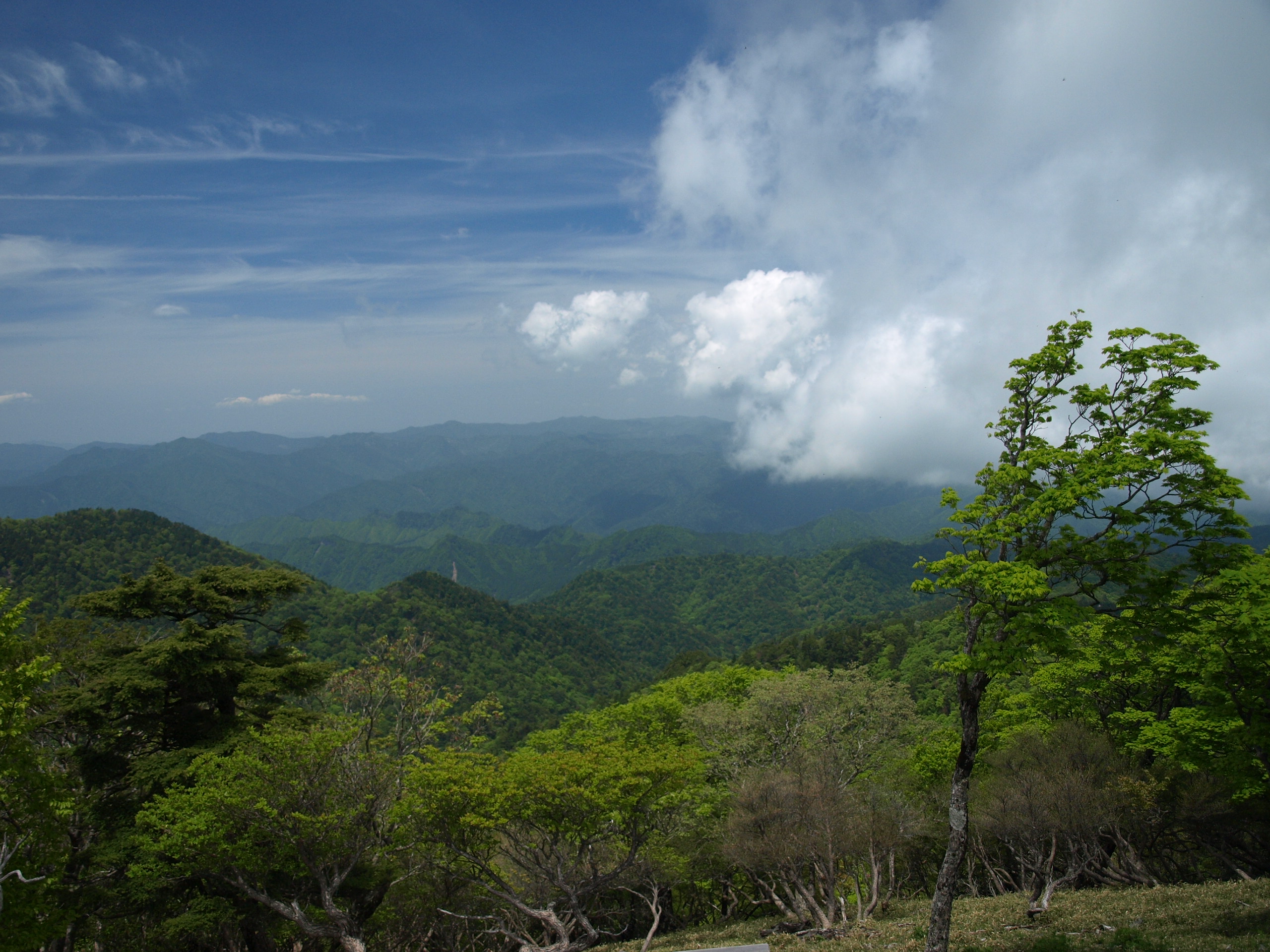
Mt. Odaigahara (大台ケ原) is a 1,695m peak on the border of Nara and Mie Prefectures. One of the 100 Famous Japanese Mountains, it sits in one of Japan’s heaviest rainfall areas, with annual precipitation exceeding 4,000mm. In East Odaigahara, the Masaki-ga-hara plateau presents a haunting landscape of dead-standing spruce, and the sheer cliffs viewed from Daijagura are spectacular.
From Kintetsu Yamato-Kamiichi Station, a seasonal bus runs to the Odaigahara bus stop (about 1 hour 50 minutes).
*Timetable last checked: May 17, 2026
Reservation-required service since March 25, 2026
Nara Kotsu’s Odaigahara Line “Sorakaze” became reservation-required as of Tuesday, March 25, 2026. Reservations must be made between 9:00 one month before boarding and 16:00 the day before, online (Nara Kotsu official site) or by phone (Reservation Center 0742-22-5110, 9:00–18:00, open year-round). Walk-ups are accepted when seats are available, but boarding is not possible when the bus is full.
How to access the trailheads
- [Going] Yamato-Yagi Station → Kashiharajingu-mae Station → Odaigahara bus stop
- [Return] Odaigahara bus stop → Kashiharajingu-mae Station → Yamato-Yagi Station
Hiking Course Details — Mt. Odaigahara (大台ケ原)
Click to show current location.
Click for full-screen view.
*If the map does not appear, please click here.*
Map & Recommended Route — Mt. Odaigahara (大台ケ原)
1. [Going] Yamato-Yagi Station → Kashiharajingu-mae Station → Odaigahara bus stop
Some climbing guidebooks list Yamato-Kamiichi Station as the boarding stop, but since 2022 the boarding stops have changed to Yamato-Yagi Station and Kashiharajingu-mae Station.
From Yamato-Yagi Station or Kashiharajingu-mae Station on the Kintetsu Yoshino Line, take the Nara Kotsu Bus bound for Odaigahara and get off at Odaigahara.
Operating period: Daily from Saturday, April 25, 2026 to Monday/Holiday, November 23, 2026 (reservation required)
Travel time: 2 hours 45 minutes – 3 hours
When traveling by train, a discounted combination ticket bundling the Kintetsu train fare to Yamato-Yagi Station with the bus fare is recommended.
Details:
Bus TimetableYamato-Yagi Station → Odaigahara
| Yamato-Yagi Station | Kashiharajingu-mae Station | Odaigahara |
|---|---|---|
| 08:15 | 08:30 | 11:16 |
Reference: [Nara Kotsu Bus (PDF)]
2. [Return] Odaigahara bus stop → Kashiharajingu-mae Station → Yamato-Yagi Station
From the Odaigahara bus stop, take the Nara Kotsu Bus bound for Aeon Mall Kashihara and get off at Kashiharajingu-mae Station or Yamato-Yagi Station.
Operating period: Daily from Saturday, April 25, 2026 to Monday/Holiday, November 23, 2026 (reservation required)
Travel time: 2 hours 45 minutes – 3 hours
Fare: ¥3,100
Bus TimetableOdaigahara → Yamato-Yagi Station
| Odaigahara Dep. | Kashiharajingu-mae Station | Yamato-Yagi Station |
|---|---|---|
| 16:00 | 18:51 | 19:10 |
Reference: [Nara Kotsu Bus (PDF)]
Photo by Wikipedia