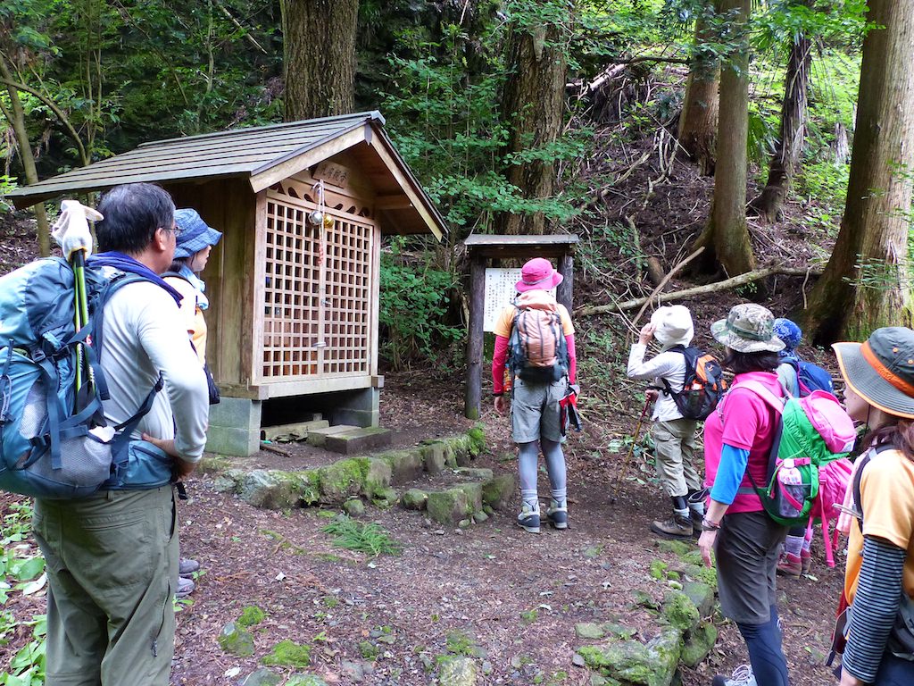
Mt. Honitayama is a 1,225m mountain in the Okutama area of Tokyo. It serves as a front peak to Mt. Kawanoriyama, and offers a popular “station-to-station” traverse course starting from JR Okutama Station and ending at JR Hatonosu Station. In addition to the convenience of completing the hike using only public transportation without relying on buses, the cumulative elevation gain of about 1,000m provides a satisfying workout. During the fresh green and autumn foliage seasons, you can enjoy views of Mt. Gozen, Mt. Otake, and the Mt. Kawanori area through the forest.
This page shows how to get to JR Okutama Station and JR Hatonosu Station for hiking Mt. Honitayama.
Access to the Trailhead
Highlights & Difficulty
Station to Station Traverse:
The classic “Okutama Sta. → Honitayama → Hatonosu Sta.” route.Train frequency is reasonable, making it easy to plan.
Steep Ascent for a Leg Workout: From Okutama Station (elevation ~340m), ascend steeply to the ridge. With ~1,000m cumulative elevation gain, the sense of achievement is substantial.
Rocky, Root-filled Steep Slopes:
Especially from Anjisawa toward the summit, the slope steepens. Watch for slipping and falling on the descent. After rain or during leaf-fall season, surfaces become slippery—trekking poles and shoes with good grip are reassuring.
No Water Sources or Shops:
There are no resupply points on the mountain. Before starting, stock up on water, snacks, and use restrooms near the station.
Reference Course Times (Point-to-Point)
標準は体力・季節で差がありますが、コース全体の目安は約4時間(休憩除く)。余裕をもって5~6時間の行動計画がおすすめです。
Reference Course Time (About 4 hours)
1. Going: Shinjuku / Tachikawa → Okutama Sta. (JR)
Route: JR Chuo Line (Shinjuku / Tachikawa) → Ome Line (toward Ome / Okutama).
Estimated travel time: About 1 hour 40 min to 2 hours from Shinjuku (direct or transfer depending on the time).
Note: The “Holiday Rapid Okutama” on weekends and holidays no longer runs directly to Okutama after a schedule revision. Currently, a transfer at Ome Station is standard.
Reference: NAVITIME
2. Return: Hatonosu Sta. → Tachikawa / Shinjuku (JR)
Descend from Daikon-no-Yama-no-Kami to Hatonosu Station. From Hatonosu Station, take the Ome Line toward Tachikawa / Shinjuku (transfer at Tachikawa or Ome depending on the time).
Reference: NAVITIME
Hiking Course Details — Mt. Honitayama (本仁田山)
Click to show current location.
Click for full-screen view.
*If the map does not appear, please click here.*
Map & Recommended Route — Mt. Honitayama (本仁田山)