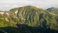
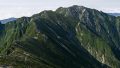
Mt. Kamikochi (上河内岳, 2,803 m), on the border of Aoi Ward in Shizuoka City and Iida in Nagano, is one of the 200 Famous Japanese Mountains.
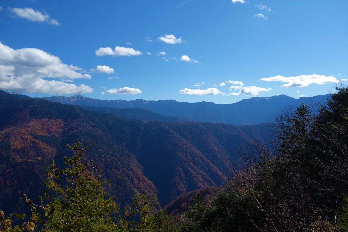
A gently shaped peak in the southern Southern Alps between Mt. Hijiri and Mt. Chausu, its appeal is the flower fields spreading across the summit area and the grand view from Mt. Hijiri and Mt. Akaishi all the way to Mt. Fuji. It is a deep route climbed from the Takase Daiichi Dam trailhead via Chausu Hut, and the classic plan is an advanced route with two nights on the mountain over three days.
For public transport to the trailhead, the Southern Alps Climbing Line bus runs from Shizuoka Station to Takase Daiichi Dam during the summer season.
The trailhead is Takase Daiichi Dam (summer parking, about 940 m); the Numadaira gate is about 20 minutes’ walk away. The standard route is Takase Daiichi Dam → Hatanagi Suspension Bridge → Usokko-sawa Hut → Yokokubo-sawa Hut → Chausu Hut (overnight) → Mt. Chausu → Mt. Kamikochi; the first day to Chausu Hut takes about 6–7 hours. It cannot be done as a day trip and is an advanced route of three days with two nights at huts such as Chausu Hut.
On the route, Chausu Hut, Yokokubo-sawa Hut and Usokko-sawa Hut serve as bases for lodging and emergencies (all reservation-only). The best season is mid-July to the end of September, while the huts are open; beware of the Hatanagi Suspension Bridge and the plank paths and wooden steps along Usokko-sawa, and of strong wind and sudden weather changes on the ridge above the tree line. Always check the latest trail, hut-operation and bus conditions in advance.
*Last checked: June 6, 2026
How to access the trailheads
1. [Round trip] Shizuoka Station → Takase Daiichi Dam (trailhead)
The base is Shizuoka Station on the JR lines. To Takase Daiichi Dam you use a summer-season climbing bus.
① Shizuoka Station → Takase Daiichi Dam (Southern Alps Climbing Line)
Take the Shizutetsu Just Line “Southern Alps Climbing Line” and get off at Takase Daiichi Dam. In 2025 it ran daily from 12 July to 17 August: Shizuoka Station dep. 10:00 → Takase Daiichi Dam arr. 13:20; return Takase dep. 14:30 → Shizuoka Station arr. 17:50; fare ¥3,100 (about 3 hours 20 minutes). As of June 2026 the 2026 operating period and times are not yet announced, so always check the latest information on the Shizutetsu official site.
② Mainichi Alpen-go (Takebashi / Hachioji → Hatanagi)
From the Tokyo area you can also use the Mainichi Alpen-go “Hatanagi Dam area” bus (reservation only). Check the operating days, times and fare on the official site.
From the summer parking at Takase Daiichi Dam to the Numadaira gate trailhead is about 20 minutes on foot. Mobile reception is poor around Hatanagi, so plan your itinerary and descent contact in advance.
Source: [Shizutetsu Just Line] / [Mainichi Alpen-go, Hatanagi area]
Route and safety notes
Route: Takase Daiichi Dam → Hatanagi Suspension Bridge → Usokko-sawa Hut → Yokokubo-sawa Hut → Chausu Hut (overnight) → Mt. Chausu → Mt. Kamikochi (2,803 m). The first day to Chausu Hut takes about 6–7 hours, an advanced route of three days with two nights on the mountain. From Chausu Hut to Mt. Kamikochi is a ridge walk, with flower fields across the summit area and a grand view of Mt. Hijiri and Mt. Fuji.
Suspension bridge and plank paths: Beyond Takase Daiichi Dam, the Hatanagi Suspension Bridge is a long, swaying bridge, and along Usokko-sawa there are continuous plank paths and steep wooden steps. In rain or high water, take care against a fall.
Ridge and weather: On the ridge above the tree line, beware of strong wind, sudden weather changes and lightning. As this is a deep area where escape is difficult, go with a realistic schedule and proper gear.
Water, huts and season: You can buy drinking water at each hut. The best season is mid-July to the end of September, while the huts are open; outside it, snow and ice make it unsuitable for general hiking. All huts are reservation-only.
― Tokushu Tokai Forest (hut reservations) 0547-46-1551
Emergencies: In an accident or emergency, call 110 (police) or 119 (fire/rescue).
・Shizuoka Chuo Police Station 054-252-0110
Photo by Koda6029 / Wikimedia Commons, CC BY-SA 4.0
Comments