Mt. Rokko (六甲山) is a 931m peak in Kobe City, Hyogo Prefecture.
Counted among the 300 Famous Japanese Mountains and 100 Famous Mountains of Kansai, it is popular year-round for its diverse access methods such as ropeways and railways, and its varied trails. It is also famous as a night-view spot.
The standard traverse course climbs from Hankyu Ashiyagawa Station via Rock Garden to the summit, exiting to Arima Onsen.
*Timetable last checked: May 17, 2026
Especially popular with beginner-to-intermediate hikers is the standard Kansai traverse course exiting to Hankyu / Ashiyagawa Station → Rock Garden → Kazafukiiwa → Amegatoge → (via Higashi-Otafuku-yama) → Mt. Rokko highest peak → Arima Onsen.
With the rocky / chained Rock Garden, the wide-view Kazafukiiwa, and the route descending to the onsen town, it concentrates the pleasures of mountain walking.
Course overview, difficulty, points to note
Difficulty: Overall a general trail. The early-stage Rock Garden has rocky sections and short chain sections; beware of slipping after rain. Those uncomfortable with heights can avoid via detour paths.
Best season: Year-round (heatstroke measures essential in summer; light crampons may be needed in winter due to ice/snow).
Toilets / supplies: Around Ashiyagawa Station / near Takaza-no-Taki (check business status) / Ikken-jaya (just below the highest peak) / Arima Onsen town.
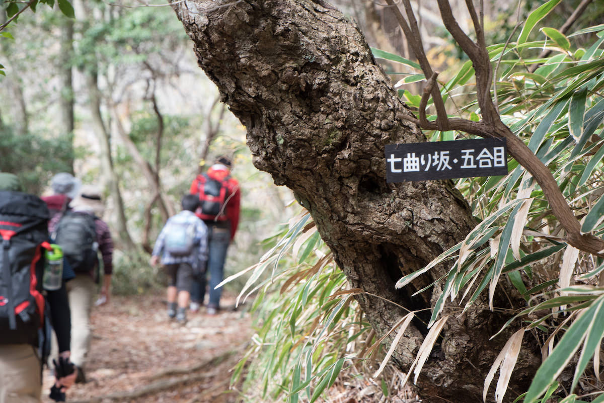
Escape: Can shorten from Amegatoge via Nanamagari to Ikken-jaya. From the highest peak, you can also exit toward the Rokko Cable via the Rokko Arima Ropeway and Rokko Sanjo Bus.
Wildlife: Wild boar sightings have been reported. Feeding / approach strictly prohibited; manage trail food rigorously.
How to access the trailheads
- [Going] Hankyu Ashiyagawa Station → Takaza-no-Taki (Rock Garden entrance)
- [Return] Arima Onsen → Sannomiya / Osaka / Takarazuka etc. (train / bus / ropeway)
Hiking Course Details — Mt. Rokko (六甲山)
Click to show current location.
Click for full-screen view.
*If the map does not appear, please click here.*
Map & Recommended Route — Mt. Rokko (六甲山)
1. [Going] Hankyu Ashiyagawa Station → Takaza-no-Taki (Rock Garden entrance)
Get off at Hankyu Kobe Line / Ashiyagawa Station. From the station, head north along the Ashiya River for about 1.5km; 20–25 minutes on foot to Takaza-no-Taki / Rock Garden entrance. Signs at key points. When using JR, you can connect from JR Ashiya Station on foot to Ashiyagawa Station in about 15 minutes (or by city bus).
- Estimated fare: Umeda → Ashiyagawa (Hankyu) about ¥290, Sannomiya → Ashiyagawa (Hankyu transfer) about ¥280 (example of IC fare).
- By car: Parking around the Rock Garden is limited in capacity. Early arrival recommended on weekends. When descending to Arima Onsen, public transit is convenient.
Reference: [Hankyu Railway | Ashiyagawa Station]
2. [Return] Arima Onsen → Sannomiya / Osaka / Takarazuka etc. (train / bus / ropeway)
Descend to the Arima Onsen town (Taiko-bashi / Yumoto-zaka). After enjoying the onsen and meals, return to each destination. Representative return routes are as follows.
Train (Kobe Electric Railway → subway through service)
- Arima Onsen → (Kobe Electric Railway Arima Line) → Tanigami → (Kobe Municipal Subway Hokushin Line) → Shin-Kobe / Sannomiya.
Time about 30–40 minutes, generally 10–20 minute intervals during the day. - Arima Onsen → (Kobe Electric Railway) → Arimaguchi → (Kobe Electric Railway Sanda Line) → toward Okaba / Sanda / Shinkaichi.
Highway bus (direct / connecting bus)
- Arima Onsen ↔ Shin-Kobe / Sannomiya (Kobe Sannomiya BT): time about 30–45 minutes.
- Arima Onsen ↔ Osaka (Umeda / Hankyu Sanbangai): time about 60–75 minutes.
- Additional services and temporary stops in busy seasons. Advance reservation recommended.
Fare guide: Arima Onsen → Sannomiya about ¥770, Arima Onsen → Osaka (Umeda) about ¥1,400
Reference: [Shinki Bus | Highway Bus (toward Arima Onsen)]
Return to the Rokko side via ropeway / mountain-top bus (advanced)
- Mt. Rokko highest peak (Ikken-jaya) → (walk about 20 minutes) → Ropeway Arima Onsen Station
→ (Rokko Arima Ropeway) → Mt. Rokko Summit Station → (Rokko Sanjo Bus)
→ Rokko Cable Summit Station → (Rokko Cable) → Rokko Cable Shita
→ (Kobe City Bus, etc.) → toward JR Rokko-michi / Hankyu Rokko. - Each summit transport is on seasonal schedules; service may be suspended in bad weather.
Reference: [Rokko Cable]
Walking points (for safe and comfortable enjoyment)
- Rock Garden: Maintain 3-person spacing / 3-point contact on the three-tier rocky section. Yield to others when crowded.
- Hydration: In summer, secure plenty at Ashiyagawa Station. There are sections between Kazafukiiwa and Amegatoge that are easily exposed to direct sunlight.
- Winter: Ice / snow may remain around the highest peak. Carry light crampons and cold-weather gear.
- After descent: At Arima Onsen, coin lockers and the outer baths (Kin no Yu / Gin no Yu) are convenient.